
1965 Map of Aztec
USGS Topo · Published 1965About this map
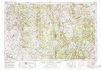
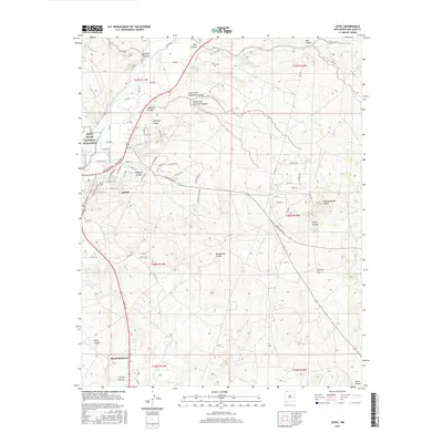
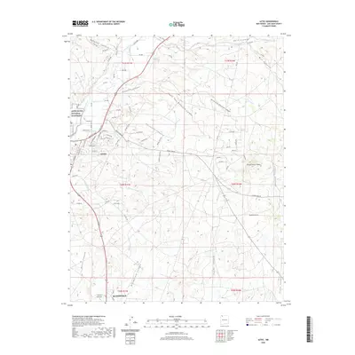
The Continental Divide snakes through this high-altitude landscape of northern New Mexico and southern Colorado, where the upper San Juan River and Rio Chama watersheds dominate the terrain. Centered on the sprawling Jicarilla Apache Indian Reservation, the map illustrates a network of mountain settlements and trading outposts in the mid-1960s. The narrow-gauge tracks of the Denver & Rio Grande Western RR traverse the northern corridor through Monero and Lumberton, serving a region defined by ranching and resource extraction. The newly formed Navajo Reservoir stands out as a major hydraulic feature near the confluence of the Los Pinos River. To the south, the ancient landscape of Chaco Canyon National Monument is detailed alongside early road networks and established trading locations like Blanco Trading Post and Counselor. Historic Hispanic villages, including Tierra Amarilla and Abiquiu, remain key hubs within the surrounding Carson National Forest and Santa Fe National Forest.
Find a feature on this map
162 named features on this map. Tap any name to fly to it.
Don’t see what you’re looking for? This feature index may not catch every label — zoom into the map to look around manually.
Map Details
Editions of this 1965 Aztec Map
This is the sole edition of this map. No revisions or reprints were ever made.
Historical Maps of Espanola Through Time
11 maps found
1954 Aztec
San Juan County, NM

1958 Aztec
San Juan County, NM
1959 Aztec
San Juan County, NM

1962 Aztec
San Juan County, NM
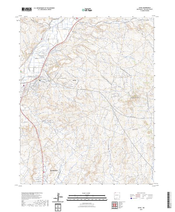
1965 Aztec
San Juan County, NM
1985 Aztec
San Juan County, NM
2010 Aztec
San Juan County, NM

2013 Aztec
San Juan County, NM
2017 Aztec
San Juan County, NM
2020 Aztec
San Juan County, NM
2023 Aztec
San Juan County, NM