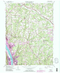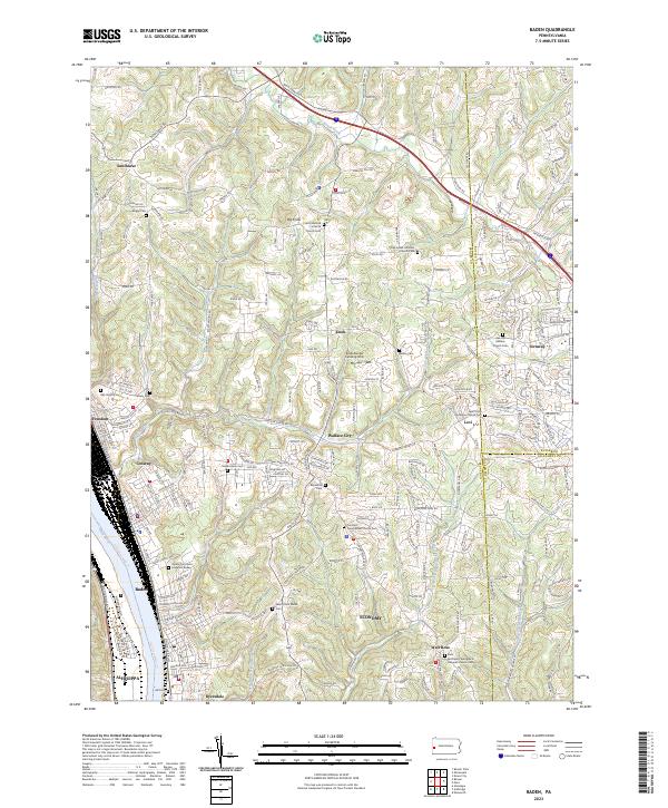
2023 Map of Baden
USGS Topo · Published 2023About this map
The Ohio River corridor serves as the industrial and residential spine of this western Pennsylvania landscape, where the steep river bluffs meet the upland plateaus of Beaver County. Industrial settlements like Aliquippa, Baden, Conway, and Freedom cluster tightly along the riverbank, following the path of early rail and river transport. Further inland, the terrain opens into a series of smaller communities including Economy, Wall Rose, and Lovi, where the land is defined by prominent elevations like Big Knob.
Find a feature on this map
238 named features on this map. Tap any name to fly to it.
Don’t see what you’re looking for? This feature index may not catch every label — zoom into the map to look around manually.
Map Details
Editions of this 2023 Baden Map
This is the sole edition of this map. No revisions or reprints were ever made.