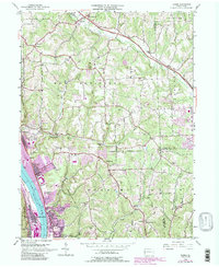
1953 Map of Baden
USGS Topo · Published 1990About this map
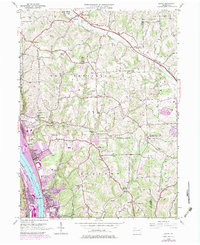
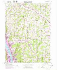
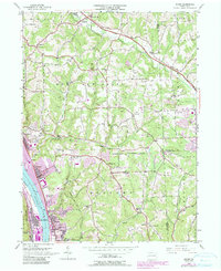
The Ohio River corridor serves as the industrial and logistical spine for this portion of Beaver County, where the dense rail infrastructure of the Pennsylvania railroad supports the heavy manufacturing hubs of Aliquippa, Baden, and Conway. The urbanized riverfront, characterized by complex track layouts and massive industrial footprints, stands in sharp contrast to the dissected uplands to the east. These higher elevations are dotted with community landmarks like the Big Knob Grange and the prominent Big Knob terrain feature, while the presence of Park Quarries indicates the region's reliance on local natural resources.
Find a feature on this map
53 named features on this map. Tap any name to fly to it.
Don’t see what you’re looking for? This feature index may not catch every label — zoom into the map to look around manually.
Map Details
Editions of this 1953 Baden Map
7 editions found
Other maps of this area

1901 · Beaver
USGS Topo · 1:62,500

1902 · New Castle
USGS Topo · 1:62,500

1904 · Newcastle
USGS Topo · 1:62,500

1904 · Beaver
USGS Topo · 1:62,500

1906 · Sewickley
USGS Topo · 1:62,500

1908 · Sewickley
USGS Topo · 1:62,500

1908 · Zelienople
USGS Topo · 1:62,500

1910 · Zelienople
USGS Topo · 1:62,500

1951 · Canton
USGS Topo · 1:250,000

1953 · Canton
USGS Topo · 1:250,000