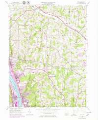
1953 Map of Baden
USGS Topo · Published 1979About this map
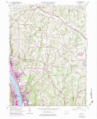
The Ohio River corridor south of Rochester defines this 1950s landscape, centered on the industrial and rail hubs of Baden, Conway, and Aliquippa. The riverbanks are dominated by the Conrail lines and extensive yard facilities, while the higher elevations show the expansion of post-war residential areas, specifically marked by the 1970s updates in purple. Cultural landmarks such as the Mt Gallitzin Academy and Lincoln Sch serve the growing population, while the industrial heritage is noted by Park Quarries and several inactive oil wells.
Find a feature on this map
57 named features on this map. Tap any name to fly to it.
Don’t see what you’re looking for? This feature index may not catch every label — zoom into the map to look around manually.
Map Details
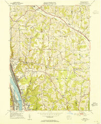
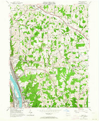
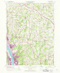
Editions of this 1953 Baden Map
7 editions found
Other maps of this area

1901 · Beaver
USGS Topo · 1:62,500

1902 · New Castle
USGS Topo · 1:62,500

1904 · Newcastle
USGS Topo · 1:62,500

1904 · Beaver
USGS Topo · 1:62,500

1906 · Sewickley
USGS Topo · 1:62,500

1908 · Sewickley
USGS Topo · 1:62,500

1908 · Zelienople
USGS Topo · 1:62,500

1910 · Zelienople
USGS Topo · 1:62,500

1951 · Canton
USGS Topo · 1:250,000

1953 · Canton
USGS Topo · 1:250,000