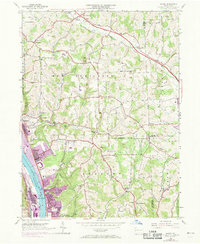
1953 Map of Baden
USGS Topo · Published 1969About this map
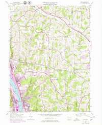
The Ohio River corridor serves as the industrial backbone of this region, dominated by the massive Conway Yard and the sprawling riverfront developments at Baden and Aliquippa. This 1953 survey, updated with 1969 photorevisions, reveals the intense rail and industrial infrastructure of the Penn Central line alongside quieter residential and institutional landmarks like Mt Gallitzin Academy. Away from the river, the landscape transitions into the hills of New Sewickley and Economy, where a network of small country churches and schools defines the social geography. Named for local families and congregations, sites such as Rehoboth Ch, St Johns Ch, and Lincoln Sch appear alongside rural industry, including Park Quarries and various oil wells. The northern edge is clipped by the Pennsylvania Turnpike, illustrating the post-war expansion of the toll road system through Beaver and Butler counties.
Find a feature on this map
58 named features on this map. Tap any name to fly to it.
Don’t see what you’re looking for? This feature index may not catch every label — zoom into the map to look around manually.
Map Details
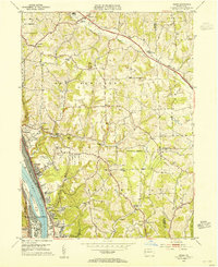
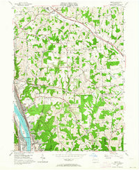
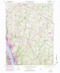
Editions of this 1953 Baden Map
7 editions found
Other maps of this area

1901 · Beaver
USGS Topo · 1:62,500

1902 · New Castle
USGS Topo · 1:62,500

1904 · Newcastle
USGS Topo · 1:62,500

1904 · Beaver
USGS Topo · 1:62,500

1906 · Sewickley
USGS Topo · 1:62,500

1908 · Sewickley
USGS Topo · 1:62,500

1908 · Zelienople
USGS Topo · 1:62,500

1910 · Zelienople
USGS Topo · 1:62,500

1951 · Canton
USGS Topo · 1:250,000

1953 · Canton
USGS Topo · 1:250,000