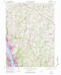
1953 Map of Baden
USGS Topo · Published 1979About this map
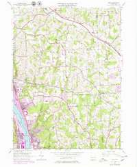
Industrial and suburban expansion along the Ohio River characterizes this mid-century landscape where the boroughs of Baden, Conway, and Freedom line the eastern shore. The corridor is dominated by the massive rail yards of the Conrail system, serving as a critical artery for the region's heavy industry. Moving inland, the topography rises toward Big Knob, revealing a network of rural settlements such as Sunflower and Unionville that remained relatively isolated from the riverfront's density. This 1953 survey, updated with 1970s data, illustrates the encroachment of housing developments into former agricultural land in Economy and New Sewickley. Local genealogy is well-represented through numerous country churches like Beulah Ch and St Johns Ch, alongside specialized institutions like the Mt Gallitzin Academy and several family-named burial grounds including Walker-Oak Grove Cem.
Find a feature on this map
58 named features on this map. Tap any name to fly to it.
Don’t see what you’re looking for? This feature index may not catch every label — zoom into the map to look around manually.
Map Details
Editions of this 1953 Baden Map
7 editions found
Other maps of this area

1901 · Beaver
USGS Topo · 1:62,500

1902 · New Castle
USGS Topo · 1:62,500

1904 · Newcastle
USGS Topo · 1:62,500

1904 · Beaver
USGS Topo · 1:62,500

1906 · Sewickley
USGS Topo · 1:62,500

1908 · Sewickley
USGS Topo · 1:62,500

1908 · Zelienople
USGS Topo · 1:62,500

1910 · Zelienople
USGS Topo · 1:62,500

1951 · Canton
USGS Topo · 1:250,000

1953 · Canton
USGS Topo · 1:250,000