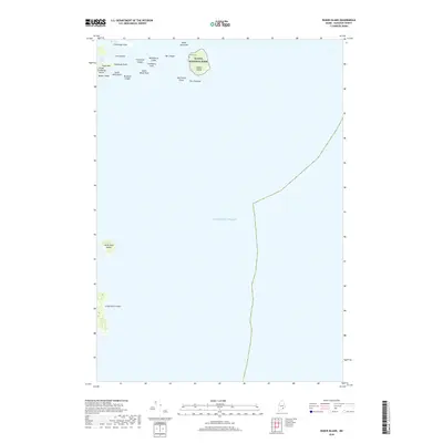
2018 Map of Baker Island
USGS Topo · Published 2018About this map
Baker Island and its surrounding archipelago anchor this coastal Maine survey, dominated by the waters of the Atlantic Ocean. Part of Acadia National Park extends across this namesake island, which features the historic Gilley Cem near its northern shore. The geography is defined by a network of hazardous marine features, from the Baker Island Bar to the submerged hazards of Whitehorse Ledge and Thompson Ledges. To the west, the eastern edge of Great Cranberry Island is visible, including the heights of Dolly Hill and the prominent protrusion of Bunker Head. Further south, the isolated outcrops of Little Duck Island and Great Duck Island emerge from the open sea, serving as significant maritime landmarks within the Cranberry Isles chain.
Find a feature on this map
24 named features on this map. Tap any name to fly to it.
Don’t see what you’re looking for? This feature index may not catch every label — zoom into the map to look around manually.
Map Details
Editions of this 2018 Baker Island Map
This is the sole edition of this map. No revisions or reprints were ever made.
Other maps of this area

1904 · Mount Desert
USGS Topo · 1:62,500

1904 · Swan Island
USGS Topo · 1:62,500

1904 · Bar Harbor
USGS Topo · 1:62,500

1942 · Bar Harbor
USGS Topo · 1:62,500

1942 · Mount Desert
USGS Topo · 1:62,500

1943 · Swans Island
USGS Topo · 1:62,500

1945 · Swans Island
USGS Topo · 1:62,500

1948 · Bangor
USGS Topo · 1:250,000

1956 · Bar Harbor
USGS Topo · 1:62,500

1956 · Mount Desert
USGS Topo · 1:62,500