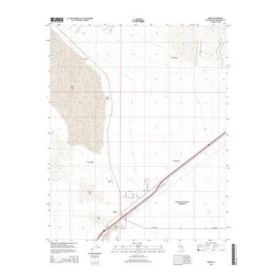
2015 Map of Baker
USGS Topo · Published 2015About this map
Baker serves as a vital desert outpost in the eastern Mojave Desert, positioned where the arid expanse meets the northern boundary of the Mojave National Preserve. The landscape is dominated by the vast, dry basins of Silver Lake to the north and Soda Lake to the south, separated by the narrow corridor of development that includes the Baker Airport. These terminal playas illustrate the unique hydrology of the region, where seasonal waters evaporate to leave distinctive alkali flats. To the west, the volcanic profiles of Otto Mtn and Nickel Mtn rise abruptly from the desert floor, providing significant geological context to the surrounding basin. Local infrastructure, such as Kelbaker Rd and a network of named residential streets like Rio Grande and Park Ave, highlights the community's role as a gateway to the preserve and a central hub for travelers in the California high desert.
Find a feature on this map
21 named features on this map. Tap any name to fly to it.
Don’t see what you’re looking for? This feature index may not catch every label — zoom into the map to look around manually.
Map Details
Editions of this 2015 Baker Map
This is the sole edition of this map. No revisions or reprints were ever made.
Other maps of this area

1910 · Ivanpah
USGS Topo · 1:250,000

1912 · Ivanpah
USGS Topo · 1:250,000

1933 · Avawatz Mountains
USGS Topo · 1:250,000

1942 · Ivanpah
USGS Topo · 1:250,000

1947 · Trona
USGS Topo · 1:250,000

1947 · Kingman
USGS Topo · 1:250,000

1948 · Kingman
USGS Topo · 1:250,000

1948 · Trona
USGS Topo · 1:250,000

1953 · Trona
USGS Topo · 1:250,000

1954 · Kingman
USGS Topo · 1:250,000