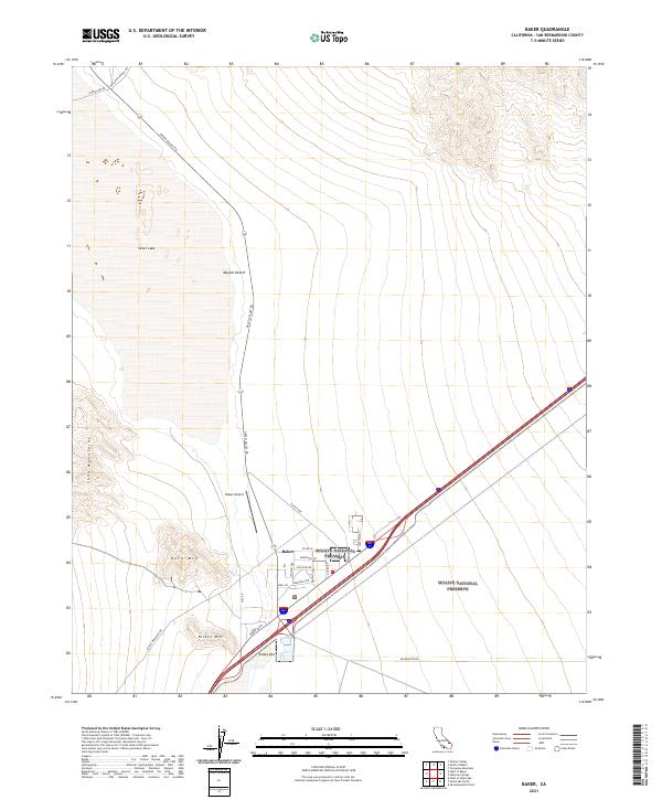
2021 Map of Baker
USGS Topo · Published 2021About this map
Baker serves as a critical desert crossroads in this 2021 survey, situated at the entrance to the Mojave National Preserve. The town is anchored by Baker Airport and a dense network of local roads such as Silver Ln, Roosevelt Rd, and Well Rd, reflecting its role as a hub for travelers navigating the Mojave Desert. The surrounding landscape is defined by the proximity of Soda Lake to the south and Silver Lake to the north, two significant dry lake beds that dominate the local topography.
Find a feature on this map
29 named features on this map. Tap any name to fly to it.
Don’t see what you’re looking for? This feature index may not catch every label — zoom into the map to look around manually.
Map Details
Editions of this 2021 Baker Map
This is the sole edition of this map. No revisions or reprints were ever made.
Other maps of this area

1910 · Ivanpah
USGS Topo · 1:250,000

1912 · Ivanpah
USGS Topo · 1:250,000

1933 · Avawatz Mountains
USGS Topo · 1:250,000

1942 · Ivanpah
USGS Topo · 1:250,000

1947 · Trona
USGS Topo · 1:250,000

1947 · Kingman
USGS Topo · 1:250,000

1948 · Kingman
USGS Topo · 1:250,000

1948 · Trona
USGS Topo · 1:250,000

1953 · Trona
USGS Topo · 1:250,000

1954 · Kingman
USGS Topo · 1:250,000