2022 Map of Baldwin City
USGS Topo · Published 2022About this map
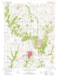
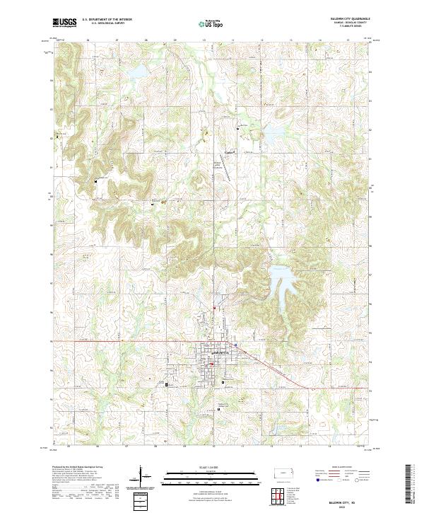
Baldwin City and the historic campus of Baker University anchor this southern Douglas County landscape, where the prairie gives way to the wooded drainages of Fork Tauy Cr and Captain Cr. The area is notably dense with pioneer-era markers, including Baldwin City Pioneer Cem, Oakwood Cem, and the small Stony Point Cem tucked into the rolling sections north of town. To the north, the small settlement of Vinland sits near the Vinland Valley Aerodrome, surrounded by family-named landmarks like Brumbaugh Cem and Breeze Cem. The landscape is defined by the transition from structured agricultural grids to the winding waters of Douglas Lake and Spring Cr, reflecting a long-settled community where education and traditional rural life meet. Local history researchers can trace the development of the road network from early county routes like Co RD 460 to the modern diagonal crossings.
Find a feature on this map
53 named features on this map. Tap any name to fly to it.
Don’t see what you’re looking for? This feature index may not catch every label — zoom into the map to look around manually.
Map Details
Editions of this 2022 Baldwin City Map
This is the sole edition of this map. No revisions or reprints were ever made.