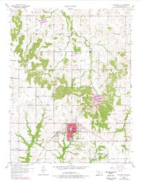
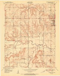
1957 Map of Baldwin City
USGS Topo · Published 1978About this map
Baker University serves as a prominent anchor for the township of Baldwin City, a community defined by its educational roots and connection to the Atchison Topeka and Santa Fe railroad. The landscape transition from the southern plains toward the Wakarusa and Eudora regions is marked by a network of rural institutions, including the Stony Point Ch and several small cemeteries like Brumbaugh Cem and Oakwood Cem that reflect early settlement patterns. To the north, the small community of Vinland is situated near the Vinland Valley Landing Field, suggesting the area's continued evolution into the mid-20th century. The drainage of Tauy Creek and its various forks dominates the southern topography, while numerous Oil Wells scattered across the eastern sections of the map indicate the local extractive industry that operated alongside traditional farming.
Find a feature on this map
31 named features on this map. Tap any name to fly to it.
Don’t see what you’re looking for? This feature index may not catch every label — zoom into the map to look around manually.
Map Details
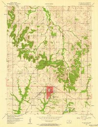
Editions of this 1957 Baldwin City Map
2 editions found
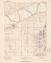
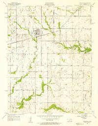
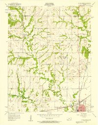
Other maps of this area

1885 · Lawrence
USGS Topo · 1:125,000

1889 · Lawrence
USGS Topo · 1:125,000

1947 · Lawrence
USGS Topo · 1:250,000

1950 · Lawrence
USGS Topo · 1:250,000
1950 · Lawrence East
USGS Topo · 1:24,000
1950 · Lawrence West
USGS Topo · 1:24,000
1951 · Lawrence West
USGS Topo · 1:24,000
1951 · Eudora
USGS Topo · 1:24,000
1956 · Wellsville
USGS Topo · 1:24,000
1956 · Ottawa North
USGS Topo · 1:24,000