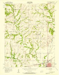
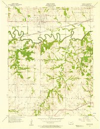
1956 Map of Ottawa North
USGS Topo · Published 1957About this map
The Old Indian Boundary slices diagonally across this mid-century landscape of Franklin County, marking a historic line of demarcation that still influenced the local geography by the 1950s. The northern outskirts of Ottawa and the rail hub at Ottawa Junction anchor the southern edge of the map, where the Atchison Topeka and Santa Fe and Missouri Pacific railroads converge. This era was defined by a dense network of rural infrastructure, visible in the numerous country schools scattered across the townships, including Minneola Sch, Liberty Sch, and Baxter Sch. Outside the small settlement of Centropolis, the terrain is carved by the Eightmile Creek and Sand Creek systems, creating a pattern of wooded draws and agricultural uplands. Notable local landmarks like Natural Springs Lake, a Fish Hatchery, and the Mt Evergreen Cem provide specific points of interest for genealogists and local historians tracing the development of these Kansas communities.
Find a feature on this map
35 named features on this map. Tap any name to fly to it.
Don’t see what you’re looking for? This feature index may not catch every label — zoom into the map to look around manually.
Map Details
Editions of this 1956 Ottawa North Map
3 editions found
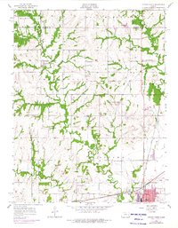
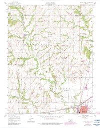
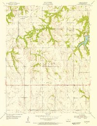
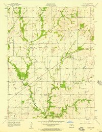
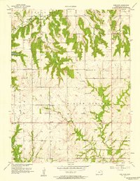
Other maps of this area

1885 · Lawrence
USGS Topo · 1:125,000

1889 · Lawrence
USGS Topo · 1:125,000

1947 · Lawrence
USGS Topo · 1:250,000

1950 · Lawrence
USGS Topo · 1:250,000
1955 · Globe
USGS Topo · 1:24,000
1956 · Pomona
USGS Topo · 1:24,000
1956 · Le Loup
USGS Topo · 1:24,000
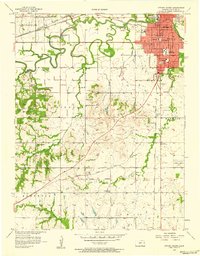
1956 · Ottawa South
USGS Topo · 1:24,000

1956 · Lawrence
USGS Topo · 1:250,000
1957 · Lone Star
USGS Topo · 1:24,000