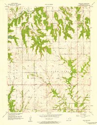
1957 Map of Lone Star
USGS Topo · Published 1958About this map
Lone Star Lake and the winding course of Washington Creek anchor this mid-century look at the Douglas County countryside. The landscape is defined by the rural townships of Willow Springs, Marion, Wakarusa, and Clinton, where a dense network of country schools served the agricultural community. Educational landmarks like Willow Springs Sch, Colyer Sch, and Oakdale Sch are plotted alongside religious centers such as Brethren Ch and St Johns Ch.
Find a feature on this map
25 named features on this map. Tap any name to fly to it.
Don’t see what you’re looking for? This feature index may not catch every label — zoom into the map to look around manually.
Map Details
Editions of this 1957 Lone Star Map
3 editions found
Other maps of this area

1885 · Lawrence
USGS Topo · 1:125,000

1889 · Lawrence
USGS Topo · 1:125,000

1947 · Lawrence
USGS Topo · 1:250,000

1950 · Lawrence
USGS Topo · 1:250,000
1950 · Lawrence East
USGS Topo · 1:24,000
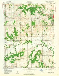
1950 · Lawrence West
USGS Topo · 1:24,000
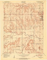
1951 · Lawrence West
USGS Topo · 1:24,000
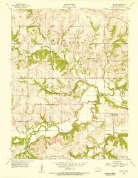
1955 · Clinton
USGS Topo · 1:24,000

1955 · Globe
USGS Topo · 1:24,000

1956 · Ottawa North
USGS Topo · 1:24,000