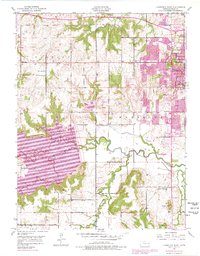
1950 Map of Lawrence West
USGS Topo · Published 1978About this map
The western expansion of Lawrence and the creation of Clinton Lake dominate this landscape, which transitioned from a rural agricultural district to a suburban and educational hub in the mid-20th century. The University of Kansas and its West Campus occupy the eastern ridge, overlooking the winding path of the Wakarusa River. A significant 1970s revision shows the newly flooded basin of the reservoir, submerged areas once defined by smaller tributaries like Rock Creek and Washington Creek.
Find a feature on this map
32 named features on this map. Tap any name to fly to it.
Don’t see what you’re looking for? This feature index may not catch every label — zoom into the map to look around manually.
Map Details
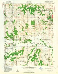
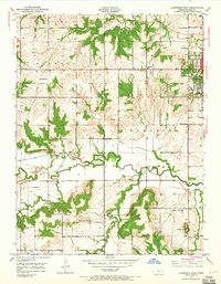
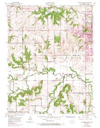
Editions of this 1950 Lawrence West Map
4 editions found
Other maps of this area

1885 · Lawrence
USGS Topo · 1:125,000

1886 · Oskaloosa
USGS Topo · 1:125,000

1888 · Oskaloosa
USGS Topo · 1:125,000

1889 · Lawrence
USGS Topo · 1:125,000

1894 · Oskaloosa
USGS Topo · 1:125,000

1947 · Lawrence
USGS Topo · 1:250,000

1949 · Williamstown
USGS Topo · 1:24,000

1949 · Perry
USGS Topo · 1:24,000

1950 · Perry
USGS Topo · 1:24,000

1950 · Kansas City
USGS Topo · 1:250,000