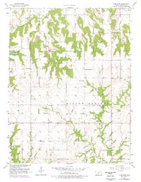
1957 Map of Lone Star
USGS Topo · Published 1978About this map
Lone Star Lake and the winding course of Washington Creek dominate this mid-century landscape south of Lawrence. The area is characterized by a high density of rural institutions that suggest a deeply rooted agricultural community, including schools like Willow Springs Sch and Union Sch alongside a significant number of family and community burial grounds such as Flory Cem and Ulrich Cem. The small settlements of Lone Star, Worden, and Pleasant Grove serve as local anchors, connected by a network of section-line roads. At Worden, the map notes a local Town Hall, a rare specific designation for a rural hub in this era. The topography reveals the intricate drainage patterns of Chicken Creek and the West Fork Tauy Creek, illustrating how the Kansas prairie is etched by small waterways that dictated the placement of early homesteads and churches like Brethren Ch.
Find a feature on this map
28 named features on this map. Tap any name to fly to it.
Don’t see what you’re looking for? This feature index may not catch every label — zoom into the map to look around manually.
Map Details
Editions of this 1957 Lone Star Map
3 editions found
Other maps of this area

1885 · Lawrence
USGS Topo · 1:125,000

1889 · Lawrence
USGS Topo · 1:125,000

1947 · Lawrence
USGS Topo · 1:250,000

1950 · Lawrence
USGS Topo · 1:250,000
1950 · Lawrence East
USGS Topo · 1:24,000
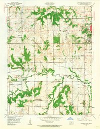
1950 · Lawrence West
USGS Topo · 1:24,000
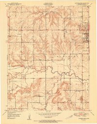
1951 · Lawrence West
USGS Topo · 1:24,000
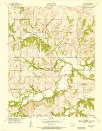
1955 · Clinton
USGS Topo · 1:24,000

1955 · Globe
USGS Topo · 1:24,000

1956 · Ottawa North
USGS Topo · 1:24,000