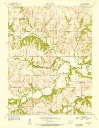
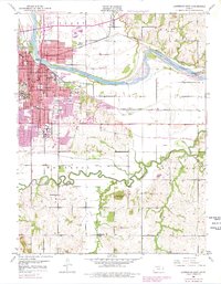
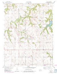
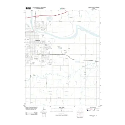
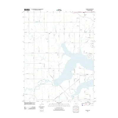
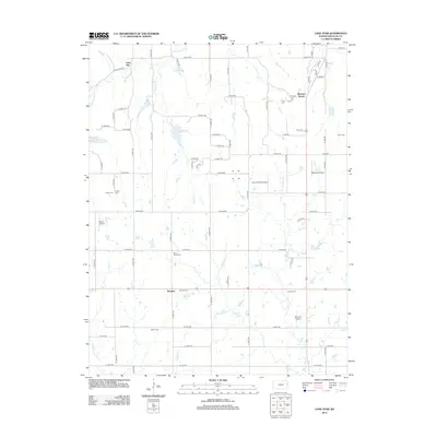
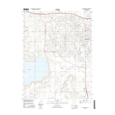
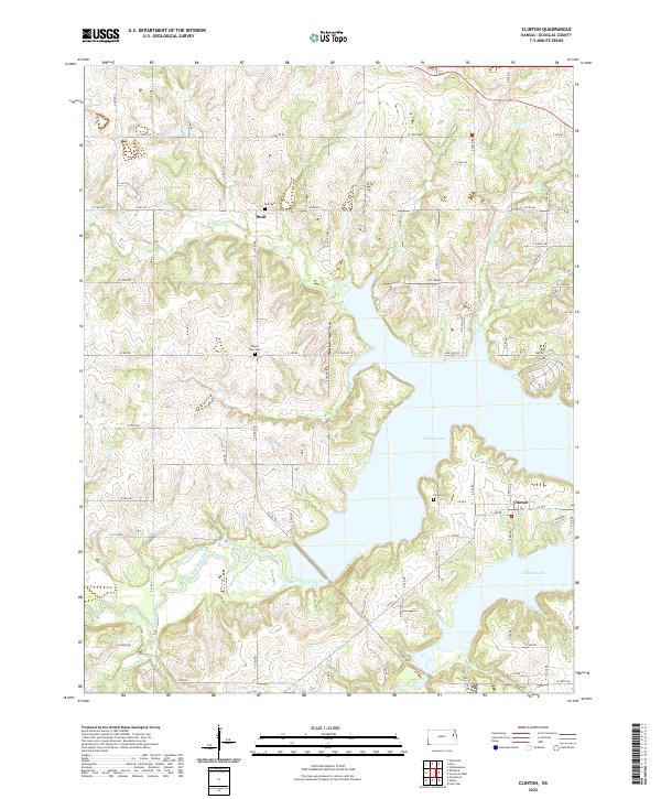
1955 Map of Clinton
USGS Topo · Published 1956About this map
The Wakarusa River and its major tributaries, including Deer Creek and Rock Creek, define the landscape of southwestern Douglas County during the mid-1950s. This survey captures a rural landscape organized around the townships of Kanwaka and Clinton, documented just as the modern Kansas Turnpike was appearing in the northeast corner of the quadrangle. The map is particularly rich in educational landmarks, showing several local schoolhouses that served the farming community, such as Yarnold Sch and the uniquely named Apple Pie Sch. Small settlements like Stull and Clinton are recorded alongside historic resting places like Mound Cem. This edition provides a detailed look at the pre-reservoir drainage patterns of the Wakarusa valley, reflecting the area's geography before significant hydrologic changes altered the valley floor.
Find a feature on this map
16 named features on this map. Tap any name to fly to it.
Don’t see what you’re looking for? This feature index may not catch every label — zoom into the map to look around manually.
Map Details
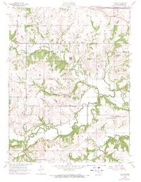
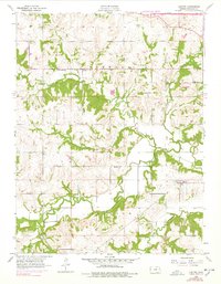
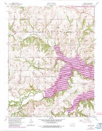
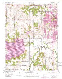
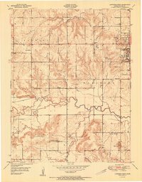
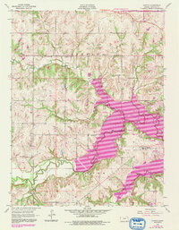
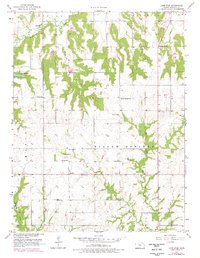
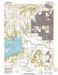
Editions of this 1955 Clinton Map
5 editions found
Historical Maps of Kanwaka Township Through Time
32 maps found
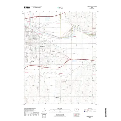
1950 Lawrence East
Douglas County, KS
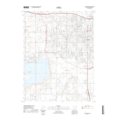
1950 Lawrence West
Douglas County, KS
1951 Lawrence West
Douglas County, KS
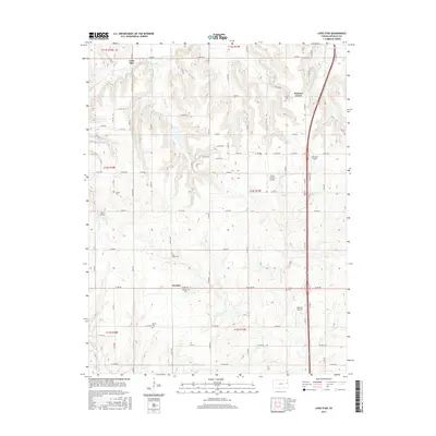
1955 Clinton
Douglas County, KS
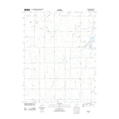
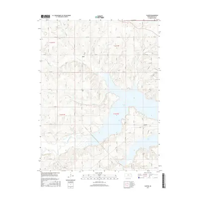
1955 Globe
Douglas County, KS
1957 Lone Star
Douglas County, KS
1991 Lawrence West
Douglas County, KS
2009 Globe
Douglas County, KS
2009 Lawrence East
Douglas County, KS
2009 Lawrence West
Douglas County, KS
2009 Lone Star
Douglas County, KS
2010 Clinton
Douglas County, KS
2012 Clinton
Douglas County, KS
2012 Globe
Douglas County, KS
2012 Lawrence East
Douglas County, KS
2012 Lawrence West
Douglas County, KS
2012 Lone Star
Douglas County, KS
2015 Clinton
Douglas County, KS
2015 Globe
Douglas County, KS
2015 Lawrence East
Douglas County, KS
2015 Lawrence West
Douglas County, KS
2015 Lone Star
Douglas County, KS
2018 Clinton
Douglas County, KS
2018 Globe
Douglas County, KS
2018 Lawrence East
Douglas County, KS
2018 Lawrence West
Douglas County, KS
2018 Lone Star
Douglas County, KS
2022 Clinton
Douglas County, KS
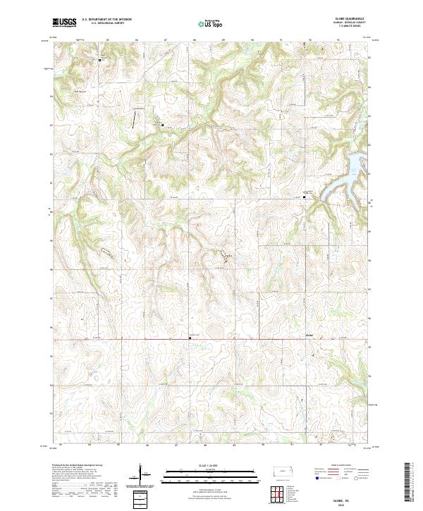
2022 Globe
Douglas County, KS
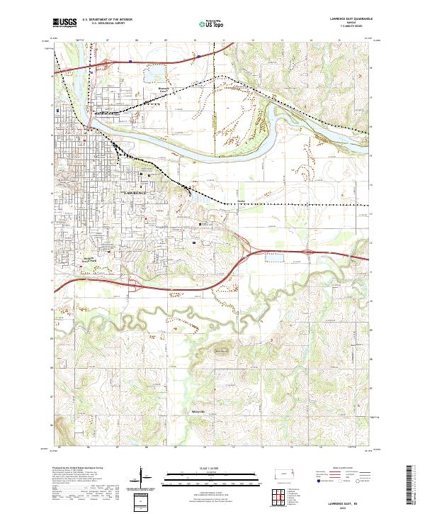
2022 Lawrence East
Douglas County, KS
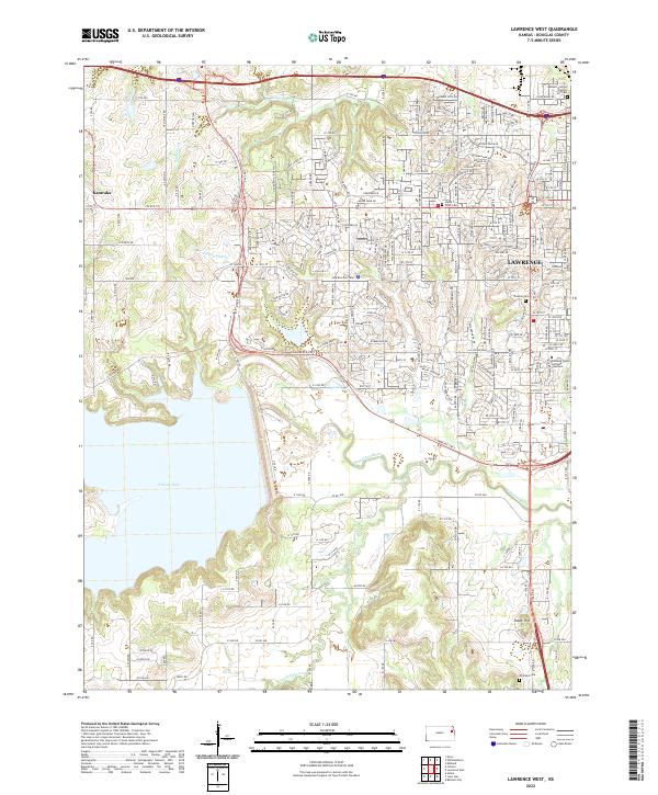
2022 Lawrence West
Douglas County, KS
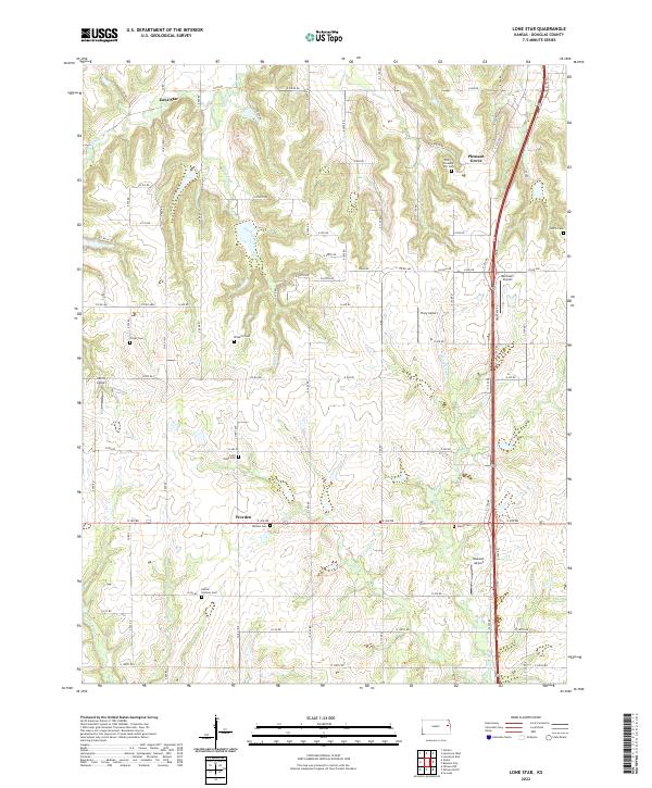
2022 Lone Star
Douglas County, KS