
1894 Map of Burlingame
USGS Topo · Published 1894About this map
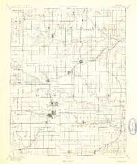
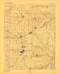
Osage City and Burlingame serve as central nodes in this late nineteenth-century portrait of east-central Kansas, where a dense network of early rail lines defined the regional economy. The landscape is deeply carved by the Marais des Cygnes River and Wakarusa Creek, with settlements like Peterton and Scranton clustered along the steel of the Atchison Topeka And Santa Fe Railroad. This period shows a region transitioning into a mature agricultural and coal-mining hub, with distinct township boundaries such as Ridgeway and Dragoon overlaying the drainage basins of Salt Creek and Hundred and Ten Mile Creek. Genealogists will find interest in the clear layout of smaller, often vanished rural centers like Arvonia, Grand Haven, and Wilmington, which sat at the crossroads of early Shawnee, Wabaunsee, and Osage county borders. The intricate detail of the Missouri Pacific R. R. Colorado Short Line further illustrates the era's reliance on rail for western transit and local commerce.
Find a feature on this map
88 named features on this map. Tap any name to fly to it.
Don’t see what you’re looking for? This feature index may not catch every label — zoom into the map to look around manually.
Map Details
Editions of this 1894 Burlingame Map
4 editions found

Other maps of this area

1885 · Eskridge
USGS Topo · 1:125,000

1885 · Burlington
USGS Topo · 1:125,000

1885 · Garnett
USGS Topo · 1:125,000

1885 · Lawrence
USGS Topo · 1:125,000

1886 · Oskaloosa
USGS Topo · 1:125,000

1888 · Emporia
USGS Topo · 1:125,000

1888 · Oskaloosa
USGS Topo · 1:125,000

1889 · Burlingame
USGS Topo · 1:125,000

1889 · Wamego
USGS Topo · 1:125,000

1889 · Eskridge
USGS Topo · 1:125,000