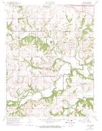
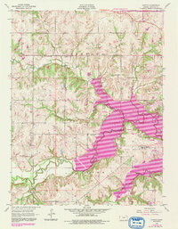
1955 Map of Clinton
USGS Topo · Published 1971About this map
The Wakarusa River and its numerous tributaries, including Coon Creek, Dry Creek, and Rock Creek, dominate the rural landscape of Douglas County in the mid-1950s. Small rural communities like Stull and Clinton serve as focal points for the surrounding agricultural townships of Kanwaka and Clinton. The map reveals a distribution of educational and social pillars from a passing era, such as Deer Creek Sch, Yarnold Sch, and Belvoir Sch.
Find a feature on this map
21 named features on this map. Tap any name to fly to it.
Don’t see what you’re looking for? This feature index may not catch every label — zoom into the map to look around manually.
Map Details
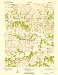
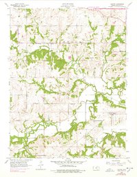
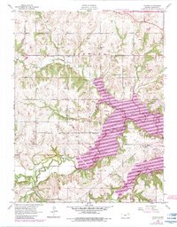
Editions of this 1955 Clinton Map
5 editions found
Other maps of this area

1885 · Lawrence
USGS Topo · 1:125,000

1886 · Oskaloosa
USGS Topo · 1:125,000

1888 · Oskaloosa
USGS Topo · 1:125,000

1889 · Burlingame
USGS Topo · 1:125,000

1889 · Topeka
USGS Topo · 1:125,000

1889 · Lawrence
USGS Topo · 1:125,000

1894 · Burlingame
USGS Topo · 1:125,000

1894 · Oskaloosa
USGS Topo · 1:125,000

1894 · Topeka
USGS Topo · 1:125,000

1947 · Lawrence
USGS Topo · 1:250,000