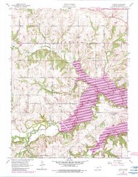
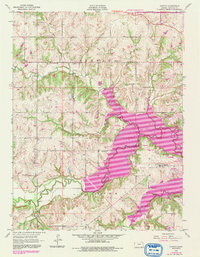
1955 Map of Clinton
USGS Topo · Published 1983About this map
The Wakarusa River and its major tributaries, Deer Creek and Rock Creek, dominate this Douglas County landscape during a period of significant hydrological change. This edition reflects the creation of Clinton Lake, a massive reservoir that altered the local topography and necessitated the development of extensive recreation areas such as Clinton State Park and the Woodridge Public Use Area. Despite these modern updates, the map preserves the older rural infrastructure of the mid-20th century. Researchers can locate several historical educational centers, including Deer Creek Sch and Belvoir Sch, along with the small communities of Stull and Clinton. The northern edge is defined by the route of the Kansas Turnpike, showing the intersection of vital transport links and the evolving river valley economy.
Find a feature on this map
22 named features on this map. Tap any name to fly to it.
Don’t see what you’re looking for? This feature index may not catch every label — zoom into the map to look around manually.
Map Details
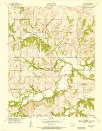
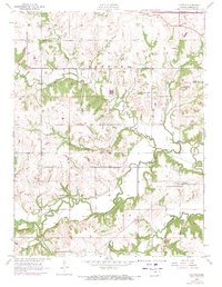
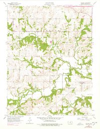
Editions of this 1955 Clinton Map
5 editions found
Other maps of this area

1885 · Lawrence
USGS Topo · 1:125,000

1886 · Oskaloosa
USGS Topo · 1:125,000

1888 · Oskaloosa
USGS Topo · 1:125,000

1889 · Burlingame
USGS Topo · 1:125,000

1889 · Topeka
USGS Topo · 1:125,000

1889 · Lawrence
USGS Topo · 1:125,000

1894 · Burlingame
USGS Topo · 1:125,000

1894 · Oskaloosa
USGS Topo · 1:125,000

1894 · Topeka
USGS Topo · 1:125,000

1947 · Lawrence
USGS Topo · 1:250,000