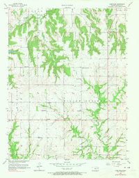
1957 Map of Lone Star
USGS Topo · Published 1973About this map
Lone Star Lake and the winding course of Washington Creek dominate the northwest corner of this Douglas County landscape, reflecting the agricultural and community foundations of the mid-20th century. The terrain is deeply carved by the drainage systems of Chicken Creek and the West Fork Tauy Creek, creating a pattern of upland ridges where many of the area's schools and churches were established. These small rural hubs, including St Johns Ch and Brethren Ch, served as the social anchors for scattered farmsteads.
Find a feature on this map
28 named features on this map. Tap any name to fly to it.
Don’t see what you’re looking for? This feature index may not catch every label — zoom into the map to look around manually.
Map Details
Editions of this 1957 Lone Star Map
3 editions found
Other maps of this area

1885 · Lawrence
USGS Topo · 1:125,000

1889 · Lawrence
USGS Topo · 1:125,000

1947 · Lawrence
USGS Topo · 1:250,000

1950 · Lawrence
USGS Topo · 1:250,000
1950 · Lawrence East
USGS Topo · 1:24,000
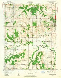
1950 · Lawrence West
USGS Topo · 1:24,000
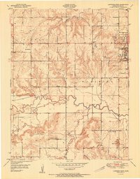
1951 · Lawrence West
USGS Topo · 1:24,000
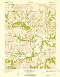
1955 · Clinton
USGS Topo · 1:24,000

1955 · Globe
USGS Topo · 1:24,000

1956 · Ottawa North
USGS Topo · 1:24,000