
1955 Map of Globe
USGS Topo · Published 1956About this map
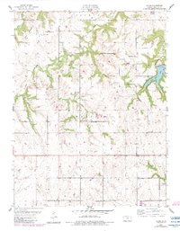
Lone Star Lake and the prominent heights of the Twin Mounds anchor this mid-century portrait of Douglas County. The landscape is characterized by a dense network of local civic and religious institutions that supported the rural population between Clinton and Marion townships. Evidence of early settlement is found in the numerous country schools, including the Weybright Sch, Baldwin Sch, and Enterprise Sch, alongside established congregations at Washington Creek Ch and St Francis Ch.
Find a feature on this map
26 named features on this map. Tap any name to fly to it.
Don’t see what you’re looking for? This feature index may not catch every label — zoom into the map to look around manually.
Map Details
Editions of this 1955 Globe Map
2 editions found
Other maps of this area

1885 · Lawrence
USGS Topo · 1:125,000

1889 · Burlingame
USGS Topo · 1:125,000

1889 · Lawrence
USGS Topo · 1:125,000

1894 · Burlingame
USGS Topo · 1:125,000

1947 · Lawrence
USGS Topo · 1:250,000

1950 · Lawrence
USGS Topo · 1:250,000
1950 · Lawrence West
USGS Topo · 1:24,000
1951 · Lawrence West
USGS Topo · 1:24,000
1955 · Clinton
USGS Topo · 1:24,000

1955 · Overbrook
USGS Topo · 1:24,000