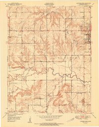
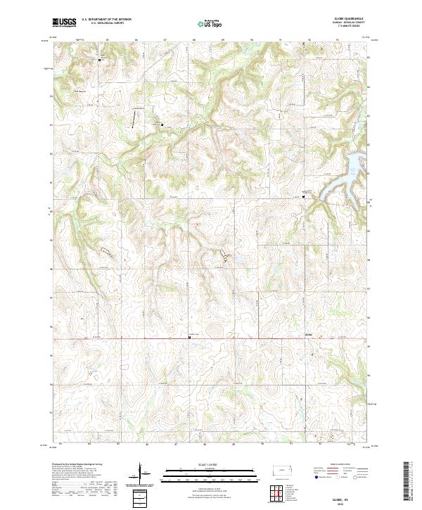
1955 Map of Globe
USGS Topo · Published 1983About this map
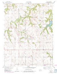
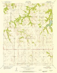
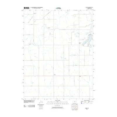
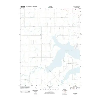
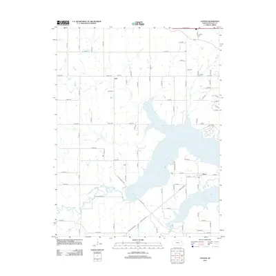
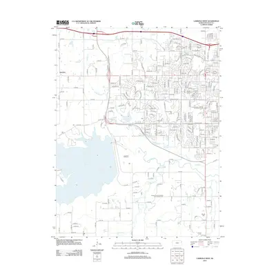
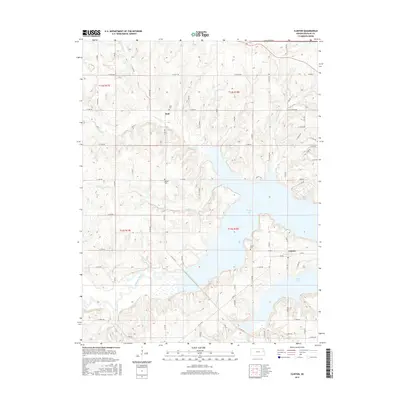
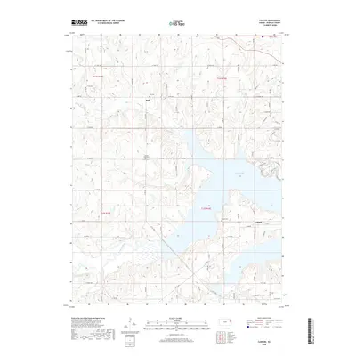
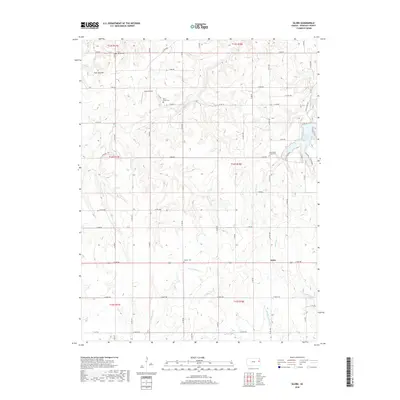
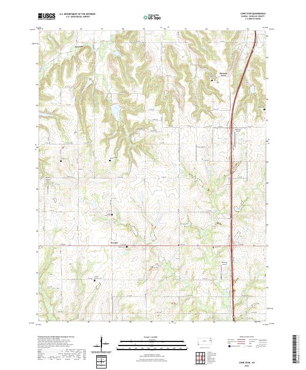
The Marion and Clinton townships of Douglas County appear here as a landscape defined by traditional rural institutions and water drainage patterns in the mid-20th century. The settlement of Globe sits at a crossroads in the southern portion of the sheet, while the northeastern quadrant is dominated by the finger-like inlets of Lone Star Lake. This man-made reservoir is fed by Washington Creek, a contrast to the natural winding course of Rock Creek to the west. Local history is deeply embedded in the distribution of community landmarks, particularly the numerous country schools like Weybright Sch, Baldwin Sch, and Centennial Sch that served these farming districts. The presence of several historic burial grounds, including Twin Mounds Cem and the Dodder Cem, along with houses of worship like St Francis Ch and Bethel Chapel, offers a clear view of the social geography that once anchored these Kansas townships.
Find a feature on this map
24 named features on this map. Tap any name to fly to it.
Don’t see what you’re looking for? This feature index may not catch every label — zoom into the map to look around manually.
Map Details
Editions of this 1955 Globe Map
2 editions found
Historical Maps of Globe Through Time
32 maps found
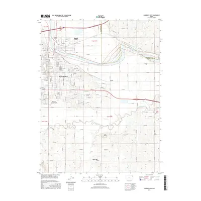
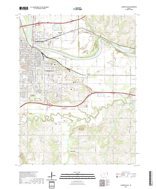
1950 Lawrence East
Douglas County, KS
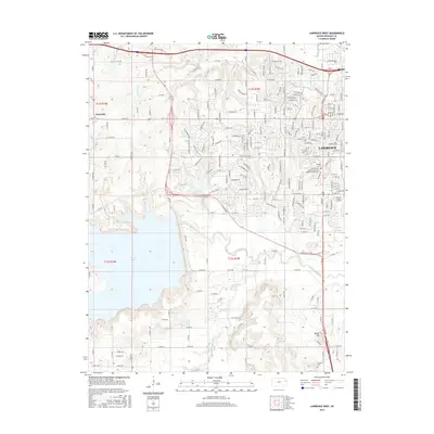
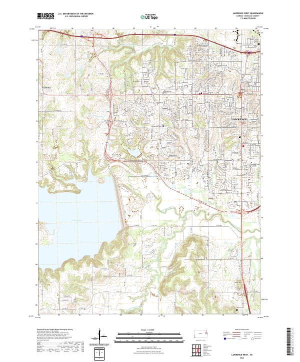
1950 Lawrence West
Douglas County, KS
1951 Lawrence West
Douglas County, KS
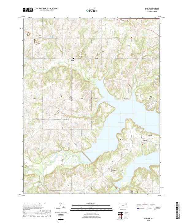
1955 Clinton
Douglas County, KS
1955 Globe
Douglas County, KS
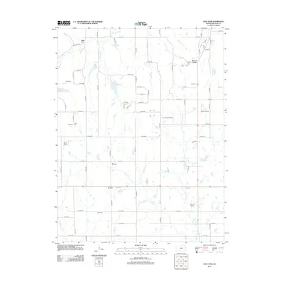
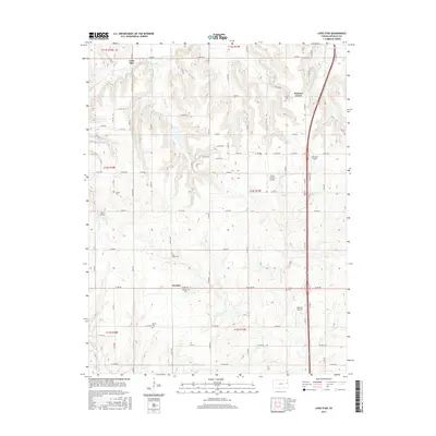
1957 Lone Star
Douglas County, KS
1991 Lawrence West
Douglas County, KS
2009 Globe
Douglas County, KS
2009 Lawrence East
Douglas County, KS
2009 Lawrence West
Douglas County, KS
2009 Lone Star
Douglas County, KS
2010 Clinton
Douglas County, KS
2012 Clinton
Douglas County, KS
2012 Globe
Douglas County, KS
2012 Lawrence East
Douglas County, KS
2012 Lawrence West
Douglas County, KS
2012 Lone Star
Douglas County, KS
2015 Clinton
Douglas County, KS
2015 Globe
Douglas County, KS
2015 Lawrence East
Douglas County, KS
2015 Lawrence West
Douglas County, KS
2015 Lone Star
Douglas County, KS
2018 Clinton
Douglas County, KS
2018 Globe
Douglas County, KS
2018 Lawrence East
Douglas County, KS
2018 Lawrence West
Douglas County, KS
2018 Lone Star
Douglas County, KS
2022 Clinton
Douglas County, KS
2022 Globe
Douglas County, KS
2022 Lawrence East
Douglas County, KS
2022 Lawrence West
Douglas County, KS
2022 Lone Star
Douglas County, KS