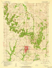
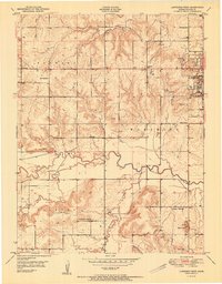
1957 Map of Baldwin City
USGS Topo · Published 1958About this map
Baker University sits at the heart of Baldwin City in this mid-century survey of southern Douglas County. The landscape is defined by the Atchison Topeka and Santa Fe railroad, which links the main settlement to the small communities of Vinland and Prairie City. The topography transitions from the rolling drainages of Coal Creek and Tauy Creek toward the northern valley of the Wakarusa river.
Find a feature on this map
30 named features on this map. Tap any name to fly to it.
Don’t see what you’re looking for? This feature index may not catch every label — zoom into the map to look around manually.
Map Details
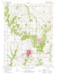
Editions of this 1957 Baldwin City Map
2 editions found
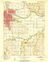
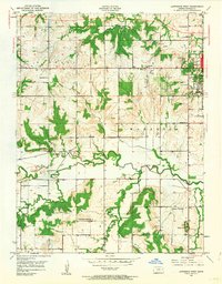
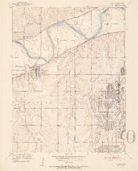
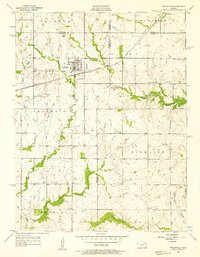
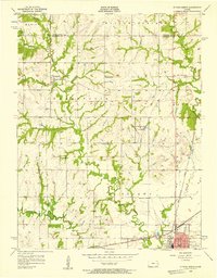
Other maps of this area

1885 · Lawrence
USGS Topo · 1:125,000

1889 · Lawrence
USGS Topo · 1:125,000

1947 · Lawrence
USGS Topo · 1:250,000

1950 · Lawrence
USGS Topo · 1:250,000
1950 · Lawrence East
USGS Topo · 1:24,000
1950 · Lawrence West
USGS Topo · 1:24,000
1951 · Lawrence West
USGS Topo · 1:24,000
1951 · Eudora
USGS Topo · 1:24,000
1956 · Wellsville
USGS Topo · 1:24,000
1956 · Ottawa North
USGS Topo · 1:24,000