2024 Map of Baldwin
USGS Topo · Published 2024About this map
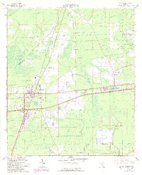
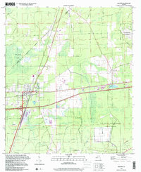
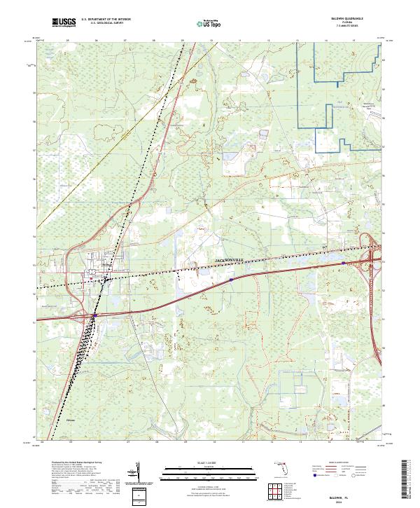
Baldwin serves as a central hub in this western Duval County landscape, where historical rail lines and modern thoroughfares converge. The town's grid, featuring streets like Boxcar Dr and Orange Ave, reflects its heritage as a transit point. To the east, the aviation legacy of the region is anchored by the Whitehouse Naval Outlying Field near Whitehouse. The map reveals a transition from these concentrated settlements into the natural lowlands of Baldwin Bay and the winding course of Brandy Branch.
Find a feature on this map
57 named features on this map. Tap any name to fly to it.
Don’t see what you’re looking for? This feature index may not catch every label — zoom into the map to look around manually.
Map Details
Editions of this 2024 Baldwin Map
This is the sole edition of this map. No revisions or reprints were ever made.