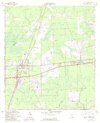
1964 Map of Baldwin
USGS Topo · Published 1992About this map
Military aviation and rural development define the landscape west of Jacksonville as recorded in this 1960s survey, with updates from the early 1990s. The town of Baldwin serves as a central hub where multiple rail lines and major roads converge, including a High Sch and several Tanks. The expansion of defense infrastructure is prominent, with the massive US Naval Air Station (Cecil Field) occupying the southern portion of the map and US Naval Air Station (Whitehouse Field) visible to the east. Smaller settlements like Otis, Mandeville, and Tulane are scattered across a terrain shaped by Baldwin Bay and winding waterways like Brandy Branch and McGirts Cr. Historical transportation routes are evident in the Old Plank Road, providing a glimpse into the regional connectivity prior to the modern highway system. Technical infrastructure is also noted, including multiple Radio Towers (WAPE) and a Substation.
Find a feature on this map
22 named features on this map. Tap any name to fly to it.
Don’t see what you’re looking for? This feature index may not catch every label — zoom into the map to look around manually.
Map Details
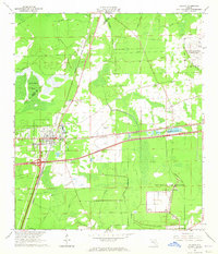
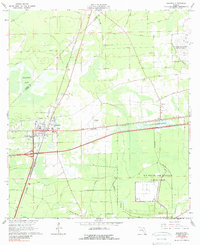
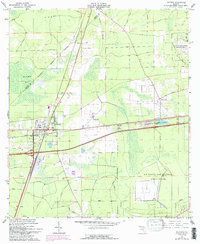
Editions of this 1964 Baldwin Map
4 editions found
Other maps of this area

1917 · Cambon
USGS Topo · 1:62,500

1917 · Macclenny
USGS Topo · 1:62,500

1918 · Middleburg
USGS Topo · 1:62,500

1918 · Lawtey
USGS Topo · 1:62,500

1918 · Cambon
USGS Topo · 1:62,500

1918 · Macclenny
USGS Topo · 1:62,500

1941 · Middleburg
USGS Topo · 1:62,500

1948 · Jacksonville
USGS Topo · 1:250,000

1949 · Fiftone
USGS Topo · 1:24,000

1949 · Jacksonville Heights
USGS Topo · 1:24,000