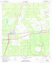
1964 Map of Baldwin
USGS Topo · Published 1989About this map
The town of Baldwin serves as a critical rail junction in western Duval County, where the Seaboard Air Line and Atlantic Coast Line railroads converge amidst a landscape of low-lying wetlands and pine flatwoods. The area's mid-century character is defined by its significant military presence, notably the U S Naval Air Station (Cecil Field) and the U S Naval Air Station (Whitehouse Field), alongside the large U S Naval Reservation.
Find a feature on this map
20 named features on this map. Tap any name to fly to it.
Don’t see what you’re looking for? This feature index may not catch every label — zoom into the map to look around manually.
Map Details
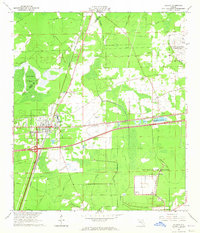
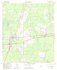
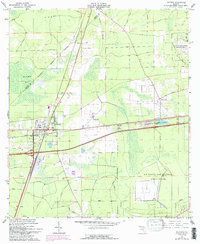
Editions of this 1964 Baldwin Map
4 editions found
Other maps of this area

1917 · Cambon
USGS Topo · 1:62,500

1917 · Macclenny
USGS Topo · 1:62,500

1918 · Middleburg
USGS Topo · 1:62,500

1918 · Lawtey
USGS Topo · 1:62,500

1918 · Cambon
USGS Topo · 1:62,500

1918 · Macclenny
USGS Topo · 1:62,500

1941 · Middleburg
USGS Topo · 1:62,500

1948 · Jacksonville
USGS Topo · 1:250,000

1949 · Fiftone
USGS Topo · 1:24,000

1949 · Jacksonville Heights
USGS Topo · 1:24,000