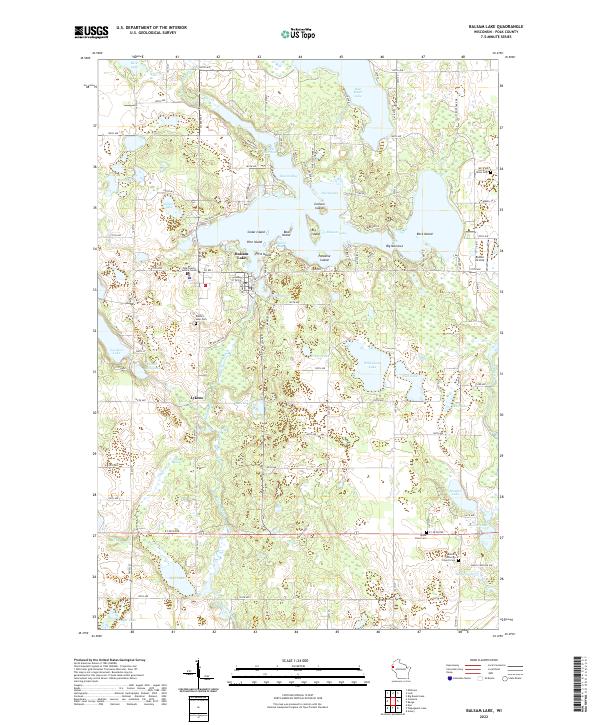
2022 Map of Balsam Lake
USGS Topo · Published 2022About this map
Balsam Lake serves as the focal point of this Polk County landscape, defined by a complex shoreline of bays and islands such as Big Island and Paradise Island. The village of Balsam Lake sits on the western shore of the Mill Pond, serving as a civic hub with the Polk County Justice Center nearby. Further south, the settlement of Lykens is positioned near the wetlands of Lykens Lake and the winding Balsam Branch. The map reveals a high density of small lakes and springs typical of the Wisconsin glacial till, including Wild Goose Lake, Brusher Lake, and Toby Spring. Cultural and genealogical markers are frequent across the terrain, from the Balsam Lutheran Church in the southeast to the Romeo Airstrip on the eastern edge. A network of rural avenues and state roads connects these water bodies to local landmarks like Union Cem and Apple River Cem, illustrating a long-established community structure centered on the region's abundant water resources.
Find a feature on this map
80 named features on this map. Tap any name to fly to it.
Don’t see what you’re looking for? This feature index may not catch every label — zoom into the map to look around manually.
Map Details
Editions of this 2022 Balsam Lake Map
This is the sole edition of this map. No revisions or reprints were ever made.
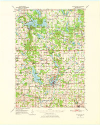
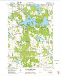
Historical Maps of Milltown Through Time
3 maps found