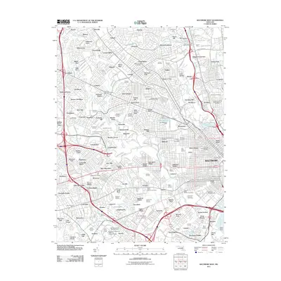
2011 Map of Baltimore West
USGS Topo · Published 2011About this map
Pimlico Racetrack and the Baltimore Hebrew University anchor the northern reaches of this dense urban landscape, which transitions from the established neighborhoods of Pikesville and Mount Washington into the industrial heart of Baltimore. The map provides a detailed look at the city's complex social and spiritual infrastructure, marked by a high concentration of memorial sites such as Loudon Park National Cemetery, Baltimore National Cemetery, and Beth Tfiloh Cemetery.
Find a feature on this map
289 named features on this map. Tap any name to fly to it.
Don’t see what you’re looking for? This feature index may not catch every label — zoom into the map to look around manually.
Map Details
Editions of this 2011 Baltimore West Map
This is the sole edition of this map. No revisions or reprints were ever made.
Other maps of this area

1892 · Laurel
USGS Topo · 1:62,500

1892 · Ellicott
USGS Topo · 1:62,500

1894 · Ellicott
USGS Topo · 1:62,500

1894 · Laurel
USGS Topo · 1:62,500

1894 · Baltimore
USGS Topo · 1:62,500

1894 · Relay
USGS Topo · 1:62,500

1897 · Laurel
USGS Topo · 1:62,500

1899 · Baltimore
USGS Topo · 1:62,500

1904 · Baltimore
USGS Topo · 1:62,500

1906 · Ellicott
USGS Topo · 1:62,500