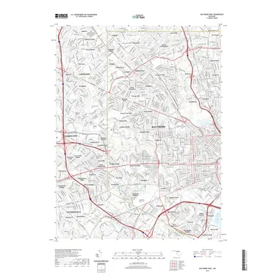
2019 Map of Baltimore West
USGS Topo · Published 2019About this map
Gwynns Falls and the Middle Branch Patapsco River frame a landscape of dense residential development and institutional history in this western Baltimore corridor. The map reveals the concentrated network of memorial sites that define the area's local history, including the sprawling Loudon Park National Cem, New Cathedral Cem, and the historic Mount Olivet Cem. These sites, along with smaller grounds like Etting Cem and Saint Marys Cem, serve as significant landmarks for genealogical research.
Find a feature on this map
108 named features on this map. Tap any name to fly to it.
Don’t see what you’re looking for? This feature index may not catch every label — zoom into the map to look around manually.
Map Details
Editions of this 2019 Baltimore West Map
This is the sole edition of this map. No revisions or reprints were ever made.
Other maps of this area

1892 · Laurel
USGS Topo · 1:62,500

1892 · Ellicott
USGS Topo · 1:62,500

1894 · Ellicott
USGS Topo · 1:62,500

1894 · Laurel
USGS Topo · 1:62,500

1894 · Baltimore
USGS Topo · 1:62,500

1894 · Relay
USGS Topo · 1:62,500

1897 · Laurel
USGS Topo · 1:62,500

1899 · Baltimore
USGS Topo · 1:62,500

1904 · Baltimore
USGS Topo · 1:62,500

1906 · Ellicott
USGS Topo · 1:62,500