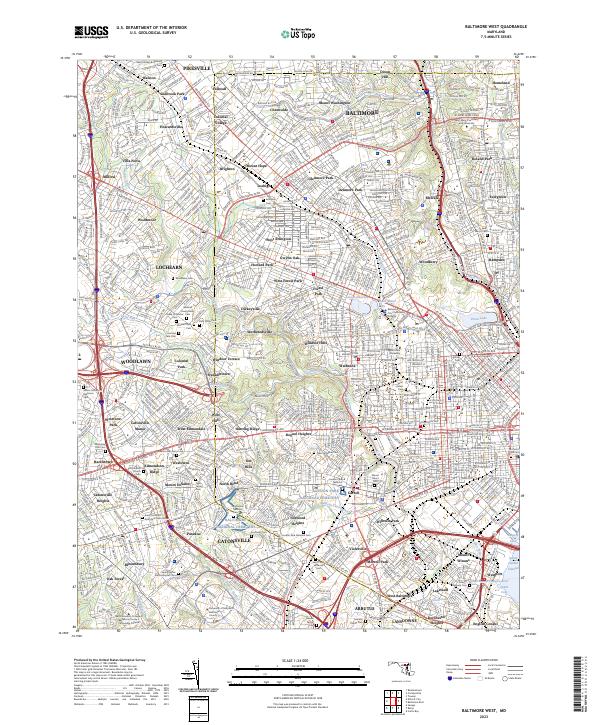
2023 Map of Baltimore West
USGS Topo · Published 2023About this map
The western urban reaches of Baltimore reveal a landscape defined by extensive parklands and a remarkably high concentration of commemorative sites. Notable among these are the sprawling Loudon Park National Cem and the adjacent Baltimore National Cem, which form a significant historic core in the southwestern sector. The map traces the winding paths of Gwynns Falls and Jones Falls as they cut through established neighborhoods like Mount Washington and Hampden, reflecting the city's complex drainage and industrial history.
Find a feature on this map
124 named features on this map. Tap any name to fly to it.
Don’t see what you’re looking for? This feature index may not catch every label — zoom into the map to look around manually.
Map Details
Editions of this 2023 Baltimore West Map
This is the sole edition of this map. No revisions or reprints were ever made.
Other maps of this area

1892 · Laurel
USGS Topo · 1:62,500

1892 · Ellicott
USGS Topo · 1:62,500

1894 · Ellicott
USGS Topo · 1:62,500

1894 · Laurel
USGS Topo · 1:62,500

1894 · Baltimore
USGS Topo · 1:62,500

1894 · Relay
USGS Topo · 1:62,500

1897 · Laurel
USGS Topo · 1:62,500

1899 · Baltimore
USGS Topo · 1:62,500

1904 · Baltimore
USGS Topo · 1:62,500

1906 · Ellicott
USGS Topo · 1:62,500