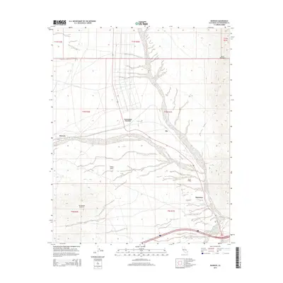
2015 Map of Bannock
USGS Topo · Published 2015About this map
Bannock and Arrowhead Junction sit at the center of this 2015 desert survey, marking points of human infrastructure within the expansive Mojave Desert. The landscape is defined by the sharp transition from the level floor of the Piute Valley to the surrounding high ground of the Dead Mountains to the northeast and the Sacramento Mountains to the south. Transportation in this arid region is concentrated along the north-south corridor of US Route 95, which links the small settlements of Ibis and Klinefelter as it skirts the mountain foothills. This modern topographic record captures the enduring isolation of these Mojave waypoints, showing how the local road network and township boundaries strictly follow the natural drainage patterns and the stark topography of the California interior.
Find a feature on this map
16 named features on this map. Tap any name to fly to it.
Don’t see what you’re looking for? This feature index may not catch every label — zoom into the map to look around manually.
Map Details
Editions of this 2015 Bannock Map
This is the sole edition of this map. No revisions or reprints were ever made.
Other maps of this area

1886 · Camp Mohave
USGS Topo · 1:250,000

1892 · Camp Mohave
USGS Topo · 1:250,000

1903 · Needles
USGS Topo · 1:125,000

1904 · Needles Special
USGS Topo · 1:125,000

1926 · Mohave City
USGS Topo · 1:96,000

1942 · Camp Mohave
USGS Topo · 1:250,000

1943 · Bannock
USGS Topo · 1:62,500

1947 · Kingman
USGS Topo · 1:250,000

1948 · Kingman
USGS Topo · 1:250,000

1950 · Davis Dam
USGS Topo · 1:62,500