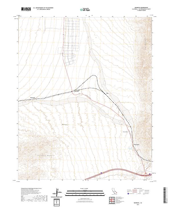
2021 Map of Bannock
USGS Topo · Published 2021About this map
Historic US Rte 66 cuts across this high-desert landscape, intersecting with US Rte 95 at Arrowhead Junction. This survey reveals the sparse but vital network of infrastructure in the eastern Mojave Desert, where small outposts like Bannock and Ibis follow the rail and road corridors. To the east, the topography rises sharply into the Dead Mountains, while the Sacramento Mountains frame the southern edge of the quadrangle.
Find a feature on this map
18 named features on this map. Tap any name to fly to it.
Don’t see what you’re looking for? This feature index may not catch every label — zoom into the map to look around manually.
Map Details
Editions of this 2021 Bannock Map
This is the sole edition of this map. No revisions or reprints were ever made.
Other maps of this area

1886 · Camp Mohave
USGS Topo · 1:250,000

1892 · Camp Mohave
USGS Topo · 1:250,000

1903 · Needles
USGS Topo · 1:125,000

1904 · Needles Special
USGS Topo · 1:125,000

1926 · Mohave City
USGS Topo · 1:96,000

1942 · Camp Mohave
USGS Topo · 1:250,000

1943 · Bannock
USGS Topo · 1:62,500

1947 · Kingman
USGS Topo · 1:250,000

1948 · Kingman
USGS Topo · 1:250,000

1950 · Davis Dam
USGS Topo · 1:62,500