Loading...
Loading map...2023 Map of Barnegat Light
USGS Topo · Published 2023About this map
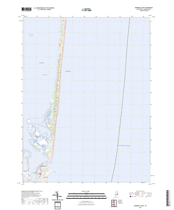
Island Beach and the northern tip of Long Beach Island define this coastal landscape, separated by the dynamic waters of Barnegat Inlet. The map illustrates a complex maritime environment where the Atlantic Ocean meets the sheltered reaches of Barnegat Bay. Within the bay, the Sedge Islands and Buster Islands create a labyrinth of salt marshes and tidal flats, recently documented with recreational paths like the Marsh Elder Kayak Trl and Spizzle Creek Kayak Tr.
Find a feature on this map
22 named features on this map. Tap any name to fly to it.
Don’t see what you’re looking for? This feature index may not catch every label — zoom into the map to look around manually.
Map Details
Date Portrayed2023
Date Published2023
PublisherU.S. Geological Survey
Map TypeTopographic
Scale1:24000
Physical Dimensions24 x 29 inches
Editions of this 2023 Barnegat Light Map
This is the sole edition of this map. No revisions or reprints were ever made.
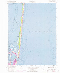
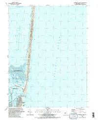
Historical Maps of Ocean County Through Time
3 maps found
Featured Locations
Source Details
SourceU.S. Geological Survey
CopyrightPublic Domain