
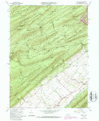
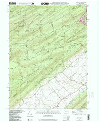
1977 Map of Barrville
USGS Topo · Published 1979About this map
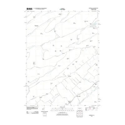
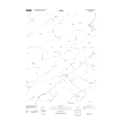
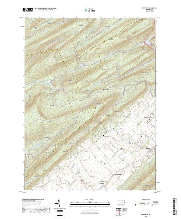
Kishcoquillas Valley dominates the lower half of this 1977 orthophotoquad, revealing a dense patchwork of agricultural fields that contrast sharply with the forested slopes of Broad Mountain. The aerial imagery, prepared by the U.S. Geological Survey in cooperation with the Soil Conservation Service, provides a literal view of the land use patterns near Barrville during the late 1970s. The meandering path of Kishcoquillas Creek cuts through these lowlands, while landmarks like Boar Hill break the ridge-and-valley terrain. This document is particularly valuable for researchers tracing the evolution of Pennsylvania farmsteads and rural boundary lines, as it captures the exact state of the landscape before modern suburban expansion or industrial changes altered the Mifflin County countryside.
Find a feature on this map
5 named features on this map. Tap any name to fly to it.
Don’t see what you’re looking for? This feature index may not catch every label — zoom into the map to look around manually.
Map Details
Editions of this 1977 Barrville Map
This is the sole edition of this map. No revisions or reprints were ever made.
Historical Maps of Granville Township Through Time
8 maps found
Featured Locations
- Jackson Township, PA
- Brown Township, PA
- Granville Township, PA
- Kishacoquillas, Brown Township
- Reedsville, Brown Township