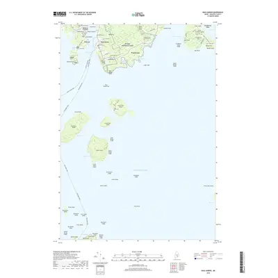
2018 Map of Bass Harbor
USGS Topo · Published 2018About this map
Mount Desert Island and the surrounding Cranberry Isles are depicted in this coastal record, revealing the intricate geography of the Maine shoreline. The southern tip of the island features the historic fishing villages of Bernard and Bass Harbor, where the landscape transitions from the protected waters of Mitchell Cove and Bass Harbor Marsh to the exposed granite of Bass Harbor Head. Substantial portions of the interior are preserved as part of Acadia National Park, including the extensive wetlands of the Big Heath and the quiet shores of Ship Harbor.
Find a feature on this map
94 named features on this map. Tap any name to fly to it.
Don’t see what you’re looking for? This feature index may not catch every label — zoom into the map to look around manually.
Map Details
Editions of this 2018 Bass Harbor Map
This is the sole edition of this map. No revisions or reprints were ever made.
Other maps of this area

1904 · Mount Desert
USGS Topo · 1:62,500

1904 · Swan Island
USGS Topo · 1:62,500

1904 · Bar Harbor
USGS Topo · 1:62,500

1942 · Bar Harbor
USGS Topo · 1:62,500

1942 · Mount Desert
USGS Topo · 1:62,500

1943 · Swans Island
USGS Topo · 1:62,500

1945 · Swans Island
USGS Topo · 1:62,500

1948 · Bangor
USGS Topo · 1:250,000

1956 · Bar Harbor
USGS Topo · 1:62,500

1956 · Mount Desert
USGS Topo · 1:62,500