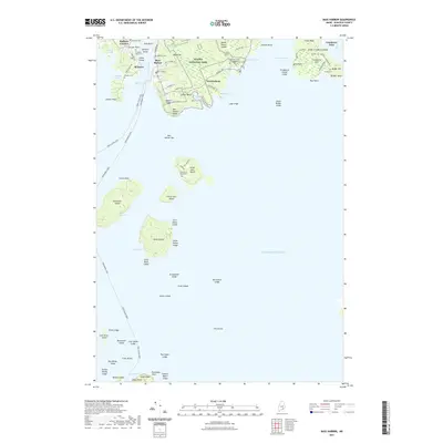
2021 Map of Bass Harbor
USGS Topo · Published 2021About this map
Mount Desert Island’s southern coast reveals a maritime landscape where long-standing fishing villages and seasonal wilderness meet. The harbor settlements of Bass Harbor and Bernard anchor the western side of the water, connected by the Bass Harbor Rd corridor. Significant portions of the coastline are preserved within Acadia National Park, including the popular Wonderland Trl and the rocky shores of Ship Harbor.
Find a feature on this map
94 named features on this map. Tap any name to fly to it.
Don’t see what you’re looking for? This feature index may not catch every label — zoom into the map to look around manually.
Map Details
Editions of this 2021 Bass Harbor Map
This is the sole edition of this map. No revisions or reprints were ever made.
Other maps of this area

1904 · Mount Desert
USGS Topo · 1:62,500

1904 · Swan Island
USGS Topo · 1:62,500

1904 · Bar Harbor
USGS Topo · 1:62,500

1942 · Bar Harbor
USGS Topo · 1:62,500

1942 · Mount Desert
USGS Topo · 1:62,500

1943 · Swans Island
USGS Topo · 1:62,500

1945 · Swans Island
USGS Topo · 1:62,500

1948 · Bangor
USGS Topo · 1:250,000

1956 · Bar Harbor
USGS Topo · 1:62,500

1956 · Mount Desert
USGS Topo · 1:62,500