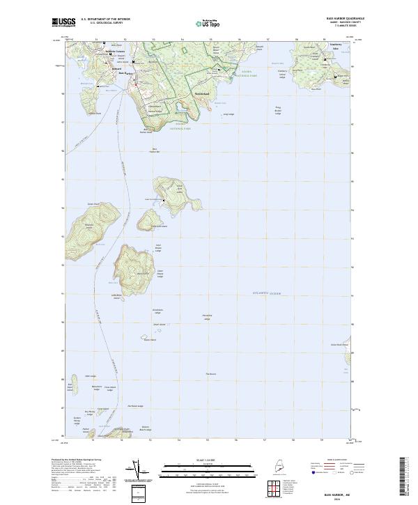
2024 Map of Bass Harbor
USGS Topo · Published 2024About this map
Bass Harbor Head anchors the southern tip of Mount Desert Island on this coastal Maine survey, where maritime navigation and protected lands define the landscape. Within the boundaries of Acadia National Park, terrain features like Big Heath and Ship Harbor reflect the preserved natural character of the island, while the settlements of Bernard and Bass Harbor serve as centers for the local fishing and harbor economy. These communities are deeply rooted in family history, as evidenced by the numerous small graveyards including the Dolliver Family Burial Ground and McKinley Cem. Beyond the main island, the map tracks essential transport routes such as the Swan's Island Ferry and the Frenchboro Ferry, which weave through a network of outlying islands and dangerous shoals like Inner Dawes Ledge and Grindstone Ledge.
Find a feature on this map
94 named features on this map. Tap any name to fly to it.
Don’t see what you’re looking for? This feature index may not catch every label — zoom into the map to look around manually.
Map Details
Editions of this 2024 Bass Harbor Map
This is the sole edition of this map. No revisions or reprints were ever made.
Other maps of this area

1904 · Mount Desert
USGS Topo · 1:62,500

1904 · Swan Island
USGS Topo · 1:62,500

1904 · Bar Harbor
USGS Topo · 1:62,500

1942 · Bar Harbor
USGS Topo · 1:62,500

1942 · Mount Desert
USGS Topo · 1:62,500

1943 · Swans Island
USGS Topo · 1:62,500

1945 · Swans Island
USGS Topo · 1:62,500

1948 · Bangor
USGS Topo · 1:250,000

1956 · Bar Harbor
USGS Topo · 1:62,500

1956 · Mount Desert
USGS Topo · 1:62,500