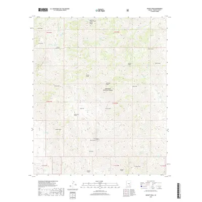
2018 Map of Bassett Peak
USGS Topo · Published 2018About this map
The Galiuro Mountains dominate this high-desert landscape within the Coronado National Forest in Graham County. The terrain is defined by a series of prominent summits including Bassett Peak, Kielberg Peak, and Sunset Peak, separated by a complex network of drainages such as Redfield Canyon and Muleshoe Canyon. Water sources are vital features in this environment, with numerous tanks and springs like Grassy Ridge Tank, Hooker Tank, and Sol Rhea Spring providing essential resources.
Find a feature on this map
53 named features on this map. Tap any name to fly to it.
Don’t see what you’re looking for? This feature index may not catch every label — zoom into the map to look around manually.
Map Details
Editions of this 2018 Bassett Peak Map
This is the sole edition of this map. No revisions or reprints were ever made.
Other maps of this area

1938 · Galiuro Mts
USGS Topo · 1:48,000

1940 · Sierra Bonita Ranch
USGS Topo · 1:62,500

1942 · Sierra Bonita Ranch
USGS Topo · 1:62,500

1943 · Galiuro Mts
USGS Topo · 1:62,500

1943 · Sierra Bonita Ranch
USGS Topo · 1:62,500

1943 · Winchester Mts.
USGS Topo · 1:62,500

1945 · Redington
USGS Topo · 1:62,500

1945 · Winchester Mts.
USGS Topo · 1:62,500

1956 · Tucson
USGS Topo · 1:250,000

1957 · Redington
USGS Topo · 1:62,500