Loading...
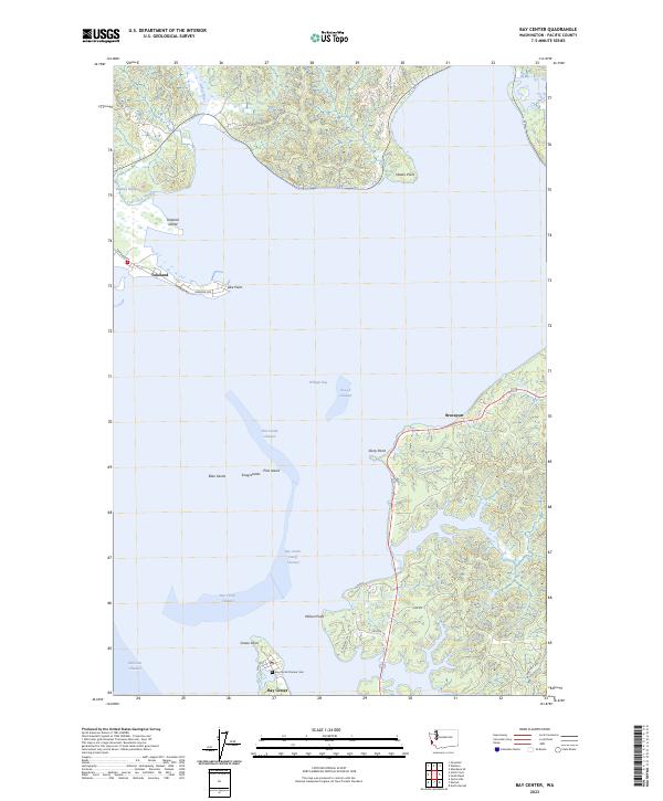
Loading map...2023 Map of Bay Center
USGS Topo · Published 2023About this map
Willapa Bay dominates this coastal landscape, where the shifting channels and mudflats of the Pacific Northwest define the limits of local settlement. Along the southern peninsula, Bay Center remains a focal point for maritime activity, notably featuring the Bay Center Pioneer Cem and School St. The geography here is a complex network of aquatic corridors including the Bay Center Cutoff Channel and Pine Island Channel, which navigate around features like Snag Islands and Goose Point.
Find a feature on this map
39 named features on this map. Tap any name to fly to it.
Don’t see what you’re looking for? This feature index may not catch every label — zoom into the map to look around manually.
Map Details
Date Portrayed2023
Date Published2023
PublisherU.S. Geological Survey
Map TypeTopographic
Scale1:24,000
Physical Dimensions24 x 29 inches
Editions of this 2023 Bay Center Map
This is the sole edition of this map. No revisions or reprints were ever made.
Historical Maps of Pacific County Through Time
Featured Locations
Source Details
SourceU.S. Geological Survey
CopyrightPublic Domain