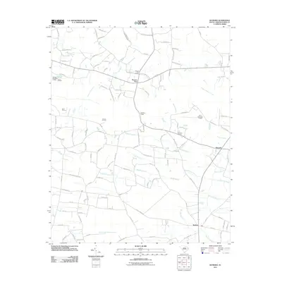
2011 Map of Bayboro
USGS Topo · Published 2011About this map
Pleasant View serves as a central hub in this coastal plain landscape of Horry County, characterized by a complex network of wetlands and small agricultural settlements. The terrain is defined by its numerous named water bodies, including Breakfast Swamp, Playcard Swamp, and the expansive North Prong Chinners Swamp. These drainage systems dictate the placement of roads and homesteads, creating a distinct pattern of rural development. Local history is preserved through a series of family and community burial grounds, such as Martin Cemetery, Johnson Cemetery, and Strickland Cemetery. Evidence of local water management and early industry is visible at Graham Pond Dam and Sarvis Pond Dam. The map provides a detailed view of these rural communities, including Playcards and Bayboro, as they appeared in the early 21st century.
Find a feature on this map
110 named features on this map. Tap any name to fly to it.
Don’t see what you’re looking for? This feature index may not catch every label — zoom into the map to look around manually.
Map Details
Editions of this 2011 Bayboro Map
This is the sole edition of this map. No revisions or reprints were ever made.
Other maps of this area

1937 · Nixonville
USGS Topo · 1:48,000

1942 · Nixonville
USGS Topo · 1:62,500

1943 · Adrian
USGS Topo · 1:24,000

1943 · Horry
USGS Topo · 1:24,000

1944 · Adrian
USGS Topo · 1:31,680

1948 · Galivants Ferry
USGS Topo · 1:24,000

1948 · Nichols
USGS Topo · 1:24,000

1948 · Bayboro
USGS Topo · 1:24,000

1949 · Bayboro
USGS Topo · 1:24,000

1949 · Duford
USGS Topo · 1:24,000