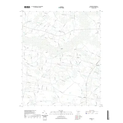
2020 Map of Bayboro
USGS Topo · Published 2020About this map
Prince Mill Swamp and a complex network of coastal depressions known as "bays" define the landscape of Horry County as it appeared in recent years. The map documents the persistent agricultural and wetland character of the region, where numerous named bays like Horseskull Bay, Joiner Bay, and Reedy Bay dot the terrain. These features, often associated with unique drainage patterns, are interspersed with small settlements such as Playcards and Bayboro.
Find a feature on this map
142 named features on this map. Tap any name to fly to it.
Don’t see what you’re looking for? This feature index may not catch every label — zoom into the map to look around manually.
Map Details
Editions of this 2020 Bayboro Map
This is the sole edition of this map. No revisions or reprints were ever made.
Other maps of this area

1937 · Nixonville
USGS Topo · 1:48,000

1942 · Nixonville
USGS Topo · 1:62,500

1943 · Adrian
USGS Topo · 1:24,000

1943 · Horry
USGS Topo · 1:24,000

1944 · Adrian
USGS Topo · 1:31,680

1948 · Galivants Ferry
USGS Topo · 1:24,000

1948 · Nichols
USGS Topo · 1:24,000

1948 · Bayboro
USGS Topo · 1:24,000

1949 · Bayboro
USGS Topo · 1:24,000

1949 · Duford
USGS Topo · 1:24,000