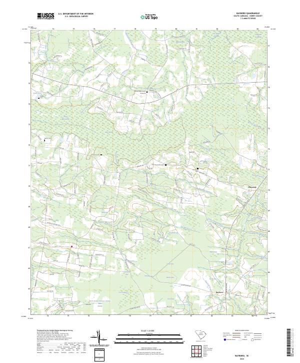
2024 Map of Bayboro
USGS Topo · Published 2024About this map
Bayboro sits at the heart of this coastal plain landscape in Horry County, defined by a complex network of darkwater swamps and Carolina bays. The topography is dominated by these unique oval depressions, including Sand Hill Bay, Horseskill Bay, and Joiner Bay, which alternate with low-lying wetlands like Prince Mill Swamp and Lake Swamp. This environment dictated the pattern of local settlement, with homes and small farms clustered along the higher sandy ridges between the wetlands.
Find a feature on this map
135 named features on this map. Tap any name to fly to it.
Don’t see what you’re looking for? This feature index may not catch every label — zoom into the map to look around manually.
Map Details
Editions of this 2024 Bayboro Map
This is the sole edition of this map. No revisions or reprints were ever made.
Other maps of this area

1937 · Nixonville
USGS Topo · 1:48,000

1942 · Nixonville
USGS Topo · 1:62,500

1943 · Adrian
USGS Topo · 1:24,000

1943 · Horry
USGS Topo · 1:24,000

1944 · Adrian
USGS Topo · 1:31,680

1948 · Galivants Ferry
USGS Topo · 1:24,000

1948 · Nichols
USGS Topo · 1:24,000

1948 · Bayboro
USGS Topo · 1:24,000

1949 · Bayboro
USGS Topo · 1:24,000

1949 · Duford
USGS Topo · 1:24,000