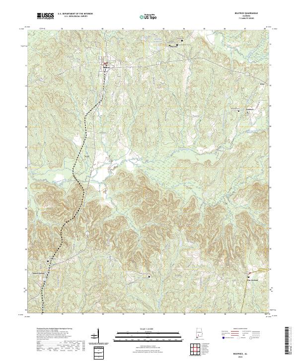
2024 Map of Beatrice
USGS Topo · Published 2024About this map
Beatrice serves as a central hub in northern Monroe County, situated where Main St and Cotton Gin RD meet. The landscape is defined by the winding paths of Robinson Creek and its many tributaries, such as Cater Branch and Lightwood Knot Branch, which carve through the terrain south of Pineville. This 2024 survey documents a deep-rooted rural community characterized by numerous small settlements and family-linked burial grounds. Genealogists will find particular value in the distribution of sites like the Pineville Methodist Cem and Philadelphia Cem. Further south, the map captures the transition into Conecuh County near Pine Orchard, illustrating how modern infrastructure like Co Rd 42 continues to follow the historic settlement patterns established around earlier landmarks like Tunnel Springs.
Find a feature on this map
70 named features on this map. Tap any name to fly to it.
Don’t see what you’re looking for? This feature index may not catch every label — zoom into the map to look around manually.
Map Details
Editions of this 2024 Beatrice Map
This is the sole edition of this map. No revisions or reprints were ever made.
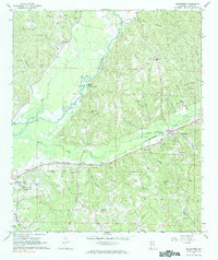
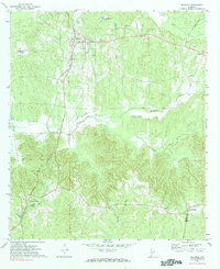
Historical Maps of Turnbull Through Time
3 maps found