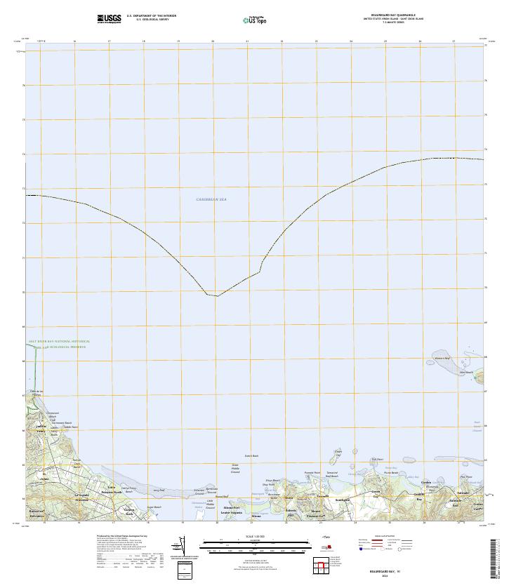
2024 Map of Beauregard Bay
USGS Topo · Published 2024About this map
The northern shoreline of Saint Croix is defined by a series of protective reefs and historic estates that transition into the Caribbean Sea. This modern survey details the coastal stretch from the western limits of the Salt River Bay National Historical Park and Ecological Preserve across to the waters surrounding the Buck Island Reef National Monument. The settlement pattern reflects a blend of residential growth and preserved history, with names like Judiths Fancy, La Grande Princesse, and Golden Rock anchoring the landscape. Nautical features such as Scotch Bank and Long Reef mark the entrance to Christiansted Harbor, while the inland topography rises toward Roberts Hill and Mount Pleasant East. The inclusion of the Green Cay National Wildlife Refuge highlights the ecological significance of the smaller islets and their surrounding waters, including the Buck Island Channel.
Find a feature on this map
74 named features on this map. Tap any name to fly to it.
Don’t see what you’re looking for? This feature index may not catch every label — zoom into the map to look around manually.
Map Details
Editions of this 2024 Beauregard Bay Map
This is the sole edition of this map. No revisions or reprints were ever made.
Other maps of this area
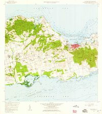
1958 · Christiansted
USGS Topo · 1:24,000
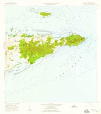
1958 · East Point
USGS Topo · 1:24,000
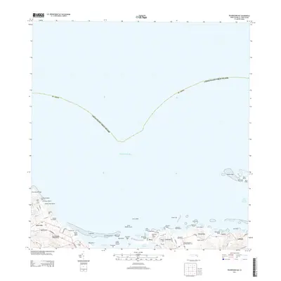
2013 · Beauregard Bay
USGS Topo · 1:20,000
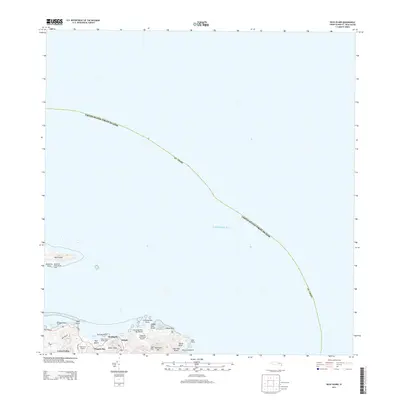
2013 · Buck Island
USGS Topo · 1:20,000
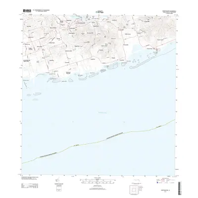
2013 · Christiansted
USGS Topo · 1:20,000
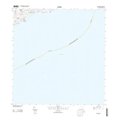
2013 · Grass Point
USGS Topo · 1:20,000
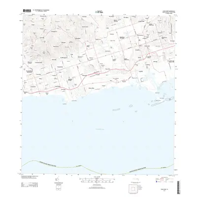
2013 · Long Point
USGS Topo · 1:20,000
2013 · Baron Bluff
USGS Topo · 1:20,000
2024 · Baron Bluff
USGS Topo · 1:20,000
2024 · Grass Point
USGS Topo · 1:20,000
Featured Places
- Seven Flags, Saint Croix District
- Little Princess North, Saint Croix District
- Sotitude, Saint Croix District
- Southgate Farm, Saint Croix District
- Mount Pleasant, Saint Croix District