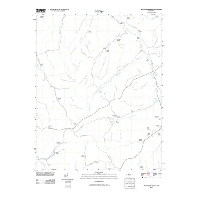
2010 Map of Beaverdam Springs
USGS Topo · Published 2010About this map
Piney Fork and its various tributaries define the landscape of this Hickman County region, where the terrain is marked by dozens of named hollows and a legacy of mineral extraction. The map reveals a concentration of mining activity along the eastern ridges, including the West Black Hollow Mine, Aetna Mine, and the Washer Hollow Tunnel Mine. These sites, alongside several Piney Fork Prospects, indicate the industrial history of the area's geological resources.
Find a feature on this map
76 named features on this map. Tap any name to fly to it.
Don’t see what you’re looking for? This feature index may not catch every label — zoom into the map to look around manually.
Map Details
Editions of this 2010 Beaverdam Springs Map
This is the sole edition of this map. No revisions or reprints were ever made.
Other maps of this area

1901 · Colombia
USGS Topo · 1:125,000

1936 · Graves Spring
USGS Topo · 1:24,000

1936 · Pleasantville
USGS Topo · 1:24,000

1936 · Coble
USGS Topo · 1:24,000

1936 · Beaverdam Springs
USGS Topo · 1:24,000

1936 · Nunnelly
USGS Topo · 1:24,000

1936 · Whitfield
USGS Topo · 1:24,000

1936 · Sunrise
USGS Topo · 1:24,000

1936 · Kimmins
USGS Topo · 1:24,000

1936 · Gordonsburg
USGS Topo · 1:24,000