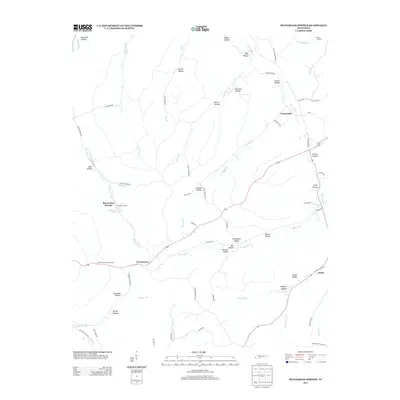
2013 Map of Beaverdam Springs
USGS Topo · Published 2013About this map
Beaverdam Springs and Hornertown anchor this rural landscape in Hickman County, where the terrain is deeply etched by a network of hollows and creek forks. The area is defined by its water systems, from the Duck River in the northeast to the various branches of Sulphur Fork and Piney Fork that drain the central and southern reaches. Significant local identifiers include Nacome Camp and the Hornertown Lookout Tower, reflecting a mix of recreational and forestry infrastructure.
Find a feature on this map
71 named features on this map. Tap any name to fly to it.
Don’t see what you’re looking for? This feature index may not catch every label — zoom into the map to look around manually.
Map Details
Editions of this 2013 Beaverdam Springs Map
This is the sole edition of this map. No revisions or reprints were ever made.
Other maps of this area

1901 · Colombia
USGS Topo · 1:125,000

1936 · Graves Spring
USGS Topo · 1:24,000

1936 · Pleasantville
USGS Topo · 1:24,000

1936 · Coble
USGS Topo · 1:24,000

1936 · Beaverdam Springs
USGS Topo · 1:24,000

1936 · Nunnelly
USGS Topo · 1:24,000

1936 · Whitfield
USGS Topo · 1:24,000

1936 · Sunrise
USGS Topo · 1:24,000

1936 · Kimmins
USGS Topo · 1:24,000

1936 · Gordonsburg
USGS Topo · 1:24,000