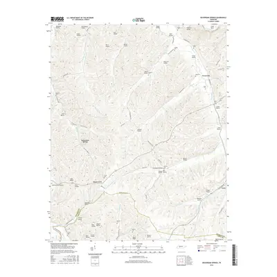
2016 Map of Beaverdam Springs
USGS Topo · Published 2016About this map
Beaverdam Springs and Hornertown anchor this rural landscape in western Middle Tennessee, where the Hickman Co and Lewis Co border cuts through a dense network of hollows and ridges. The terrain is deeply carved by water, defined by the winding course of the Duck River at Shipp Bend and several significant tributaries including Beaverdam Cr, Sulphur Fork, and Piney Fork. Numerous family cemeteries such as Horner Cem, Milam Cem, and Chandler Cem are found near historical crossroads, suggesting long-standing family ties to the land. The settlement pattern follows the narrow valley floors, with community life historically centered around places like Aetna and Crossroads. Significant topographical features like Peters Ridge and Shelving Rock Hollow dominate the vertical relief, illustrating the classic ridge-and-valley geography of the Highland Rim.
Find a feature on this map
86 named features on this map. Tap any name to fly to it.
Don’t see what you’re looking for? This feature index may not catch every label — zoom into the map to look around manually.
Map Details
Editions of this 2016 Beaverdam Springs Map
This is the sole edition of this map. No revisions or reprints were ever made.
Other maps of this area

1901 · Colombia
USGS Topo · 1:125,000

1936 · Graves Spring
USGS Topo · 1:24,000

1936 · Pleasantville
USGS Topo · 1:24,000

1936 · Coble
USGS Topo · 1:24,000

1936 · Beaverdam Springs
USGS Topo · 1:24,000

1936 · Nunnelly
USGS Topo · 1:24,000

1936 · Whitfield
USGS Topo · 1:24,000

1936 · Sunrise
USGS Topo · 1:24,000

1936 · Kimmins
USGS Topo · 1:24,000

1936 · Gordonsburg
USGS Topo · 1:24,000