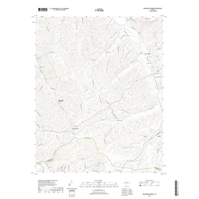
2019 Map of Beaverdam Springs
USGS Topo · Published 2019About this map
The confluence of Tennessee’s ridge-and-hollow topography defines the settlement pattern near Crossroads and Beaverdam Springs. This terrain is deeply etched by a network of drainage systems, including Sulphur Fork, Piney Fork, and Duck River, which have shaped the movement of people and the placement of communities like Hornertown and Aetna along the valley floors. The landscape is dotted with numerous family-named landmarks and small burial grounds, such as Cotham Cem, Goforth Cem, and Springer Cem, suggesting a long history of local lineage tied to specific land holdings.
Find a feature on this map
93 named features on this map. Tap any name to fly to it.
Don’t see what you’re looking for? This feature index may not catch every label — zoom into the map to look around manually.
Map Details
Editions of this 2019 Beaverdam Springs Map
This is the sole edition of this map. No revisions or reprints were ever made.
Other maps of this area

1901 · Colombia
USGS Topo · 1:125,000

1936 · Graves Spring
USGS Topo · 1:24,000

1936 · Pleasantville
USGS Topo · 1:24,000

1936 · Coble
USGS Topo · 1:24,000

1936 · Beaverdam Springs
USGS Topo · 1:24,000

1936 · Nunnelly
USGS Topo · 1:24,000

1936 · Whitfield
USGS Topo · 1:24,000

1936 · Sunrise
USGS Topo · 1:24,000

1936 · Kimmins
USGS Topo · 1:24,000

1936 · Gordonsburg
USGS Topo · 1:24,000