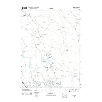
2012 Map of Becket
USGS Topo · Published 2012About this map
Becket and Washington anchor this survey of the Berkshire hills, where the landscape is defined by a dense network of glacial ponds and narrow brook valleys. The central corridor is shaped by Yokum Brook and Depot Brook, which historically provided the topography necessary for early settlements and transit. Notable for local history and genealogy, the map identifies the Washington Cem and Middlefield Center Cem, alongside numerous summer camps that represent the area's 20th-century recreational identity, such as Camp Greylock and Camp Becket near Center Pond.
Find a feature on this map
160 named features on this map. Tap any name to fly to it.
Don’t see what you’re looking for? This feature index may not catch every label — zoom into the map to look around manually.
Map Details
Editions of this 2012 Becket Map
This is the sole edition of this map. No revisions or reprints were ever made.
Other maps of this area

1886 · Chesterfield
USGS Topo · 1:62,500

1886 · Becket
USGS Topo · 1:62,500

1887 · Granville
USGS Topo · 1:62,500

1888 · Becket
USGS Topo · 1:62,500

1888 · Sandisfield
USGS Topo · 1:62,500

1888 · Chesterfield
USGS Topo · 1:62,500

1889 · Granville
USGS Topo · 1:62,500

1893 · Granville
USGS Topo · 1:62,500

1893 · Chesterfield
USGS Topo · 1:62,500

1893 · Becket
USGS Topo · 1:62,500