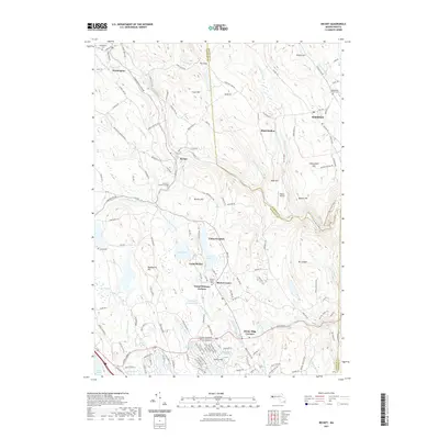
2021 Map of Becket
USGS Topo · Published 2021About this map
Becket and its surrounding hill towns occupy a high, brook-carved landscape where Berkshire, Hampshire, and Hampden counties meet. This 2021 update shows a region defined by its seasonal character and rugged hydrology, featuring a cluster of youth camps such as Camp Greylock, Camp Becket, and Camp Chimney Corners centered around Rudd Pond and Center Pond. The settlement pattern remains oriented toward the narrow valley corridors of Walker Brook and Depot Brook, reflecting the region's long-standing reliance on these water routes for transport and early industry. Cultural landmarks like Baines Airport and the Keystone Arches Bridge Trail & Float Trl demonstrate the area's modern identity as a place for recreation and heritage preservation, while numerous cemeteries including Washington Cem and Becket Center Cem provide a fixed record of the families who settled these Berkshire highlands.
Find a feature on this map
154 named features on this map. Tap any name to fly to it.
Don’t see what you’re looking for? This feature index may not catch every label — zoom into the map to look around manually.
Map Details
Editions of this 2021 Becket Map
This is the sole edition of this map. No revisions or reprints were ever made.
Other maps of this area

1886 · Chesterfield
USGS Topo · 1:62,500

1886 · Becket
USGS Topo · 1:62,500

1887 · Granville
USGS Topo · 1:62,500

1888 · Becket
USGS Topo · 1:62,500

1888 · Sandisfield
USGS Topo · 1:62,500

1888 · Chesterfield
USGS Topo · 1:62,500

1889 · Granville
USGS Topo · 1:62,500

1893 · Granville
USGS Topo · 1:62,500

1893 · Chesterfield
USGS Topo · 1:62,500

1893 · Becket
USGS Topo · 1:62,500